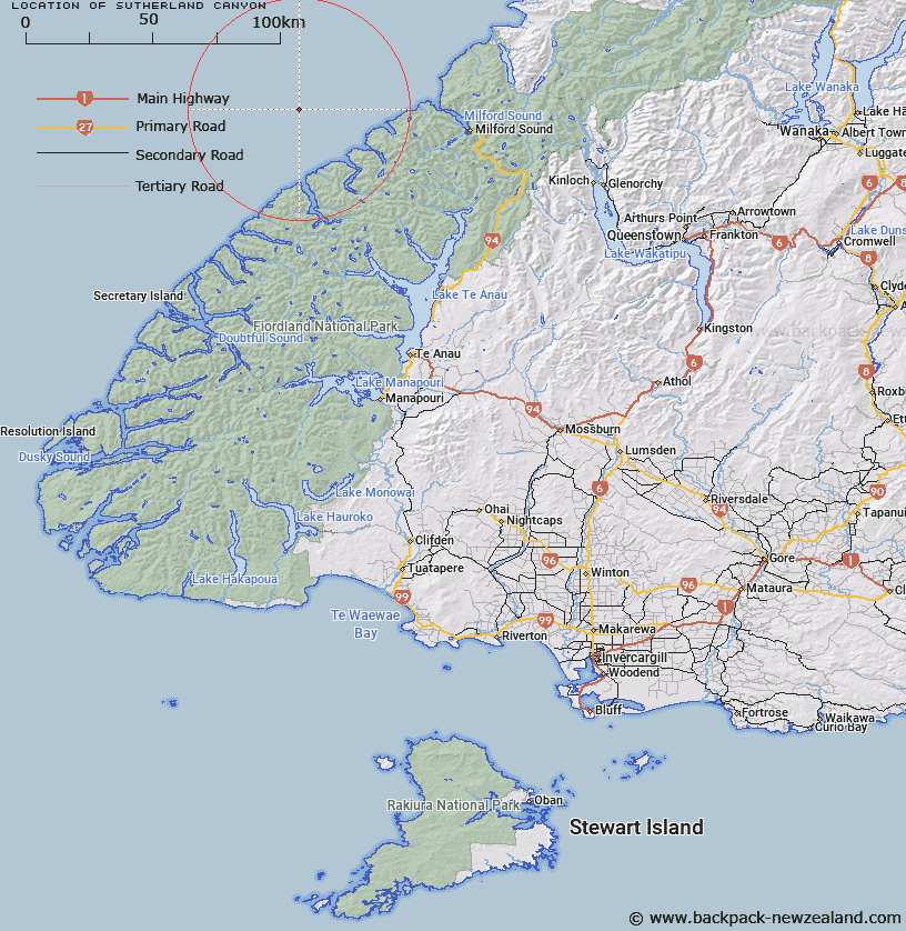
Map showing location of Sutherland Canyon
LINZ description: Fiordland shelf. A canyon perpendicular to the Fiordland coastline at the foot of Sutherland Sound. Reaches a depth of 3250 m at its northern end.
Latitude: -44.6
Longitude: 167.333333
Northing: 5045841.6
Easting: 1150273
Land District: Southland
Feat Type: Canyon
Latitude: -44.6
Longitude: 167.333333
Northing: 5045841.6
Easting: 1150273
Land District: Southland
Feat Type: Canyon

Scroll down to see a more detailed road map and below that a topographical map showing the location of Sutherland Canyon. The road map has been supplied by openstreetmap and the topographical map of Sutherland Canyon has been supplied by Land Information New Zealand (LINZ).
Yes you can use the top static map for you school/university project or personal website with a link back. Contact me for any commercial use.
[ A ] [ B ] [ C ] [ D ] [ E ] [ F ] [ G ] [ H ] [ I ] [ J ] [ K ] [ L ] [ M ] [ N ] [ O ] [ P ] [ Q ] [ R ] [ S ] [ T ] [ U ] [ V ] [ W ] [ X ] [ Y ] [ Z ]