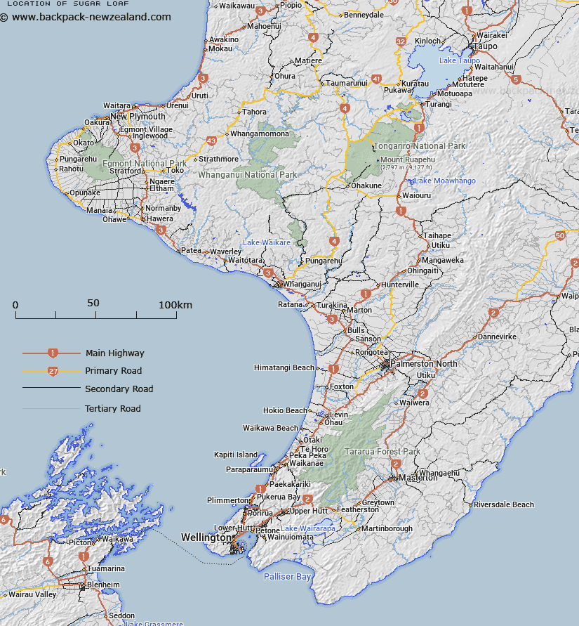
Map showing location of Sugar Loaf


LINZ description: Island midway between Mangere Island and Pitt Island (Rangiauria), Chatham Islands group.
Latitude: -44.270882
Longitude: -176.282334
Northing: 0
Easting: 0
Land District: Wellington
Feat Type: Island


Scroll down to see a more detailed road map and below that a topographical map showing the location of Sugar Loaf. The road map has been supplied by openstreetmap and the topographical map of Sugar Loaf has been supplied by Land Information New Zealand (LINZ).

Yes you can use the top static map for you school/university project or personal website with a link back. Contact me for any commercial use.
Sugar Loaf Map New Zealand


New Zealand places in our database
[ A ] [ B ] [ C ] [ D ] [ E ] [ F ] [ G ] [ H ] [ I ] [ J ] [ K ] [ L ] [ M ] [ N ] [ O ] [ P ] [ Q ] [ R ] [ S ] [ T ] [ U ] [ V ] [ W ] [ X ] [ Y ] [ Z ]


Closest 20 Islands to Sugar Loaf

Mangere Island ( 0.89km )   Little Mangere Island (Tapuaenuku) The Fort ( 2.97km )   Rabbit Island ( 3.35km )   The Castle (Rangiwheau) ( 4.71km )   Pitt Island (Rangiauria) ( 5.4km )   Kokope ( 8.69km )   South East Island (Rangatira) ( 11.93km )   Chatham Islands ( 16.08km )   The Pyramid (Tarakoikoia) ( 18.29km )   Houruakopara Island ( 26.93km )   Waikawa Island ( 40.14km )   Moturangaranga Island ( 41.61km )   Chatham Islands Nomenclature ( 42.69km )   Chatham Island ( 42.69km )   Motuhinahina Island ( 44.78km )   Titihaukai Island ( 50.88km )   Moropunga Island ( 59.01km )   Te Wakuru ( 59.6km )   Te Wakaru Island ( 59.6km )   Te Awanui Island ( 66.69km )   The Sisters (Rangitatahi) ( 89.11km )   Taikorai (Twin Rocks) ( 728.32km )   Bird Island ( 729.8km )   Portland Island ( 735.84km )   Motuokura ( 740.22km )   Bare ( 740.22km )   Karamea (Red Island) ( 740.66km )   Tuamotu Island ( 778km )   Whangara Island ( 780.75km )   Gable Islet ( 781.52km )   Pourewa Island ( 793.28km )   Makaro/Ward Island ( 793.64km )   Ward Island ( 793.64km )   M?karo / Ward Island ( 793.64km )   Mitre Rocks ( 793.93km )   Somes Island ( 795.93km )   Matiu/Somes Island ( 795.93km )   Leper Island ( 796.35km )   Mokopuna Island ( 796.35km )   Taputeranga Island ( 798.06km )