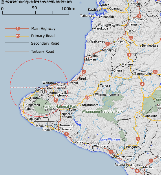
Map showing location of Sugar Loaf Islands


LINZ description: Island group, near Port Taranaki, New Plymouth. Currently known as Sugar Loaf Islands
Latitude: -39.053479
Longitude: 174.013551
Northing: 5676800
Easting: 1687700
Land District: Taranaki
Feat Type: Island


Scroll down to see a more detailed road map and below that a topographical map showing the location of Sugar Loaf Islands. The road map has been supplied by openstreetmap and the topographical map of Sugar Loaf Islands has been supplied by Land Information New Zealand (LINZ).

Yes you can use the top static map for you school/university project or personal website with a link back. Contact me for any commercial use.

Sugar Loaf Islands Map New Zealand


New Zealand places in our database
[ A ] [ B ] [ C ] [ D ] [ E ] [ F ] [ G ] [ H ] [ I ] [ J ] [ K ] [ L ] [ M ] [ N ] [ O ] [ P ] [ Q ] [ R ] [ S ] [ T ] [ U ] [ V ] [ W ] [ X ] [ Y ] [ Z ]


Closest 20 Islands to Sugar Loaf Islands

Tokomapuna (Barrett Reef) ( 0.76km )   Pararaki (Seagull Rock) ( 0.83km )   Mataora (Round Rock) ( 0.93km )   Motumahanga (Saddleback) ( 0.95km )   Motuotamatea (Snapper Rock) ( 0.96km )   Waikaranga (Seal Rocks) ( 1.05km )   Whareumu (Lion Rock) ( 1.14km )   Tokatapu ( 1.24km )   Moturoa ( 1.29km )   The Big D ( 22.54km )   Opourapa Island ( 46.5km )   Panirau Island ( 80.92km )   Motunau Rocks ( 109.44km )   Moutoa Island ( 110.35km )   Moutere Island ( 116.59km )   Whakapapa Island ( 121.54km )   Te Motu Island ( 126.04km )   Purimu Rocks ( 126.51km )   Tokapiko Rocks ( 127.26km )   Opeope Rocks ( 127.94km )   Tuapu Island ( 128.24km )   Motukaraka Island ( 129.26km )   Karewa/Gannet Island ( 129.48km )   Gannet Island (Karewa) ( 129.48km )   Meurant Island ( 130.19km )   O Wiwi Ku ( 130.19km )   Kaiwhai Island ( 132.64km )   Corliss Island ( 133.11km )   Te Rarangi Rocks ( 133.24km )   Motukahu Rocks ( 133.36km )   Ngatokakairiri Island ( 134.17km )   Motutere Island ( 138.29km )   Motukotuku Rocks ( 140.97km )   Karetoto Island ( 143.08km )   Motuopuhi Island ( 145.47km )   Maketu Island ( 151.78km )   Jones Island ( 152.58km )   Te Kapua Island ( 153.36km )   Ayers Rock ( 154.24km )   Motuwhara Island ( 157.14km )