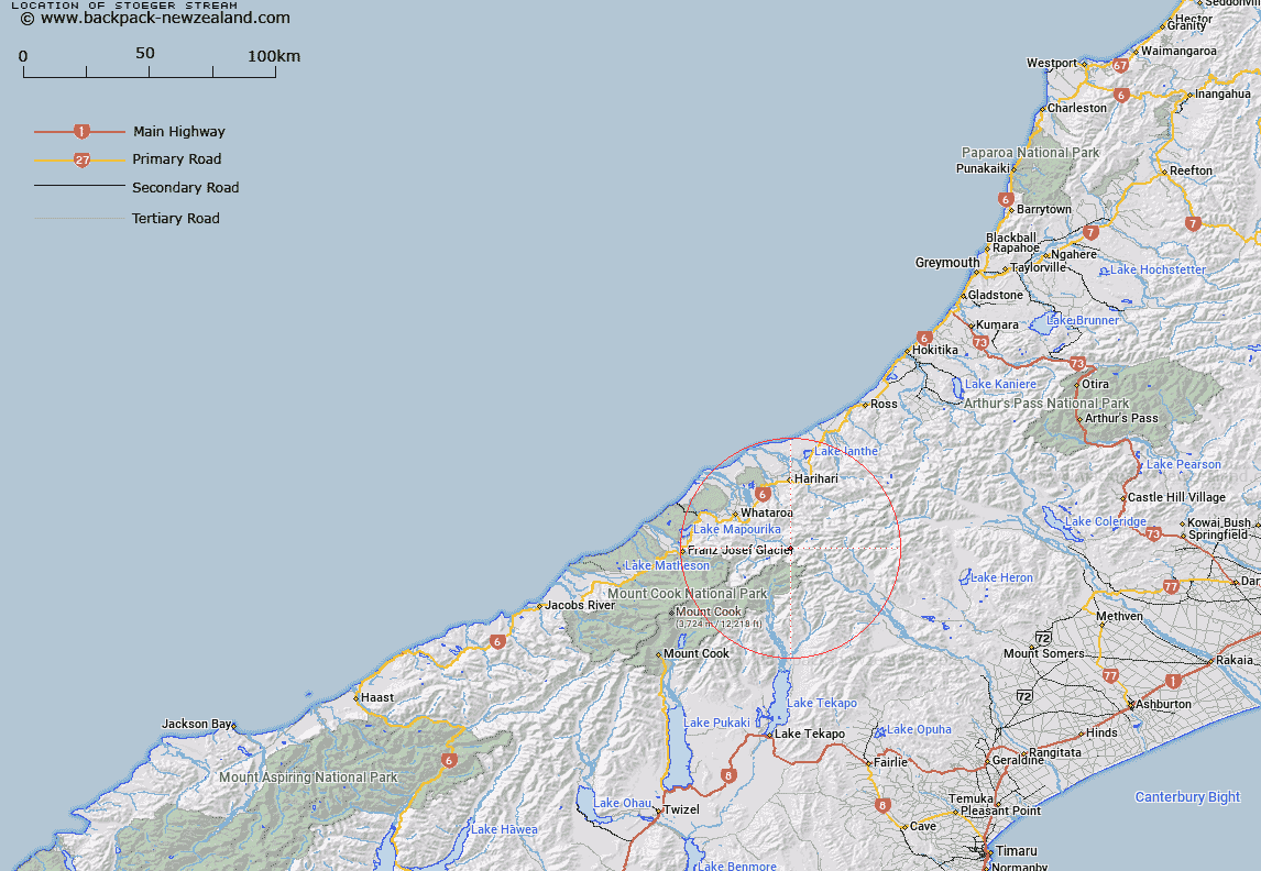
Map showing location of Stoeger Stream
LINZ description: Left bank tributary of upper Perth River, rising on the North-eastern slopes of Mount Ariki, 1.6km North-east of Mount Ariki, flowing northward, and joining Perth River 600m downstream of Scone Creek. Blocks V and VI Tyndall Survey District.
Latitude: -43.377129
Longitude: 170.55718
Northing: 5194406.1
Easting: 1402108.4
Land District: Westland
Feat Type: Stream
Latitude: -43.377129
Longitude: 170.55718
Northing: 5194406.1
Easting: 1402108.4
Land District: Westland
Feat Type: Stream

Scroll down to see a more detailed road map and below that a topographical map showing the location of Stoeger Stream. The road map has been supplied by openstreetmap and the topographical map of Stoeger Stream has been supplied by Land Information New Zealand (LINZ).
Yes you can use the top static map for you school/university project or personal website with a link back. Contact me for any commercial use.
[ A ] [ B ] [ C ] [ D ] [ E ] [ F ] [ G ] [ H ] [ I ] [ J ] [ K ] [ L ] [ M ] [ N ] [ O ] [ P ] [ Q ] [ R ] [ S ] [ T ] [ U ] [ V ] [ W ] [ X ] [ Y ] [ Z ]