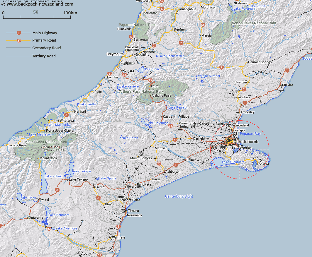
Map showing location of Stoddart Point


LINZ description: Point immediately east of Te Waipapa/Diamond Harbour, on the southern shoreline of Lyttelton Harbour/Whakaraupō.
Latitude: -43.622841
Longitude: 172.736475
Northing: 5169982.3
Easting: 1578738.7
Land District: Canterbury
Feat Type: Point


Scroll down to see a more detailed road map and below that a topographical map showing the location of Stoddart Point. The road map has been supplied by openstreetmap and the topographical map of Stoddart Point has been supplied by Land Information New Zealand (LINZ).

Yes you can use the top static map for you school/university project or personal website with a link back. Contact me for any commercial use.

Stoddart Point Map New Zealand


New Zealand places in our database
[ A ] [ B ] [ C ] [ D ] [ E ] [ F ] [ G ] [ H ] [ I ] [ J ] [ K ] [ L ] [ M ] [ N ] [ O ] [ P ] [ Q ] [ R ] [ S ] [ T ] [ U ] [ V ] [ W ] [ X ] [ Y ] [ Z ]


Closest 20 Points to Stoddart Point

Pauaohinekotau Head ( 1.45km )   Sticking Point ( 1.63km )   Battery Point ( 2.12km )   Erskine Point ( 2.99km )   Tapoa Point ( 2.99km )   Tapoa/Erskine Point ( 2.99km )   Moepuku Point ( 4.41km )   Moki Point ( 5.82km )   Black Rock Point ( 5.86km )   Black Rock ( 5.86km )   Giants Nose ( 6.02km )   Whitewash Head ( 6.31km )   Sumner Head ( 6.5km )   Awaroa/Godley Head ( 7.02km )   Godley Head ( 7.02km )   Adderley Head ( 7.48km )   Pukeiti Point ( 8.05km )   Baleine Point ( 9.61km )   Pigeon Point ( 14.02km )   Teopopaka Point ( 14.47km )   Wakaroa Point ( 15.81km )   Otohuao Head ( 19.49km )   Hammond Point ( 24.04km )   Long Lookout Point ( 25.2km )   Opukutahi ( 25.38km )   Otutereinga ( 25.42km )   Cape Three Points ( 26.94km )   Green Point ( 27.4km )   Spyglass Point ( 27.51km )   West Head ( 27.66km )   East Head ( 29.04km )   Te Ahiteraiti ( 29.19km )   Snuffle Nose ( 30.41km )   Katawa Head ( 32.95km )   Steep Head ( 33.69km )   Te Ruahine Point ( 34.88km )   Truini Point ( 34.88km )   Timutimu Head ( 34.94km )   Timber Yard Point ( 34.97km )   East Head ( 35.39km )