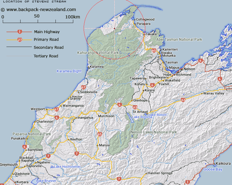
Map showing location of Stevens Stream


LINZ description: Tributary of Webb Stream, rising on Mount Stevens
Latitude: -40.779191
Longitude: 172.433527
Northing: 5485600
Easting: 1552200
Land District: Nelson
Feat Type: Stream


Scroll down to see a more detailed road map and below that a topographical map showing the location of Stevens Stream. The road map has been supplied by openstreetmap and the topographical map of Stevens Stream has been supplied by Land Information New Zealand (LINZ).

Yes you can use the top static map for you school/university project or personal website with a link back. Contact me for any commercial use.

Stevens Stream Map New Zealand


New Zealand places in our database
[ A ] [ B ] [ C ] [ D ] [ E ] [ F ] [ G ] [ H ] [ I ] [ J ] [ K ] [ L ] [ M ] [ N ] [ O ] [ P ] [ Q ] [ R ] [ S ] [ T ] [ U ] [ V ] [ W ] [ X ] [ Y ] [ Z ]


Closest 20 Streams to Stevens Stream

Independent Stream ( 0km )   Stevens Stream ( 0km )   North Branch Anatori Stream ( 3.15km )   South Branch Anatori Stream ( 4.15km )   17 Mile Creek ( 4.46km )   Webb Stream ( 4.5km )   Simmiss Creek ( 4.97km )   Eliot Creek ( 5.17km )   Frazer Stream ( 5.6km )   Denton Creek ( 6.04km )   Walsh Creek ( 6.11km )   Fossil Creek ( 6.21km )   Independent Stream ( 6.3km )   Friday Creek ( 6.63km )   Anatori River ( 6.69km )   Shot Creek ( 7.02km )   Higgins Branch ( 7.06km )   15 Mile Creek ( 7.12km )   Aorere River ( 7.15km )   Jimmy Creek ( 7.17km )   Little Slaty Creek ( 7.28km )   Soldier Creek ( 7.29km )   K?kopu Creek ( 7.57km )   Brewer Creek ( 7.58km )   Cooks Creek ( 7.89km )   Basin Creek ( 8.39km )   Toe Rag Creek ( 8.52km )   Dutchman Creek ( 8.57km )   William Creek ( 8.81km )   Grant Creek ( 8.89km )   Dam Creek ( 9.1km )   Bainham Creek ( 9.16km )   Slaty Creek ( 9.17km )   Parakeet Creek ( 9.44km )   Hidden Creek ( 9.45km )   Salisbury Creek ( 9.49km )   Finney Creek ( 9.52km )   Malone Creek ( 9.57km )   Te R?t? Creek ( 9.71km )   Toucan Stream ( 9.79km )