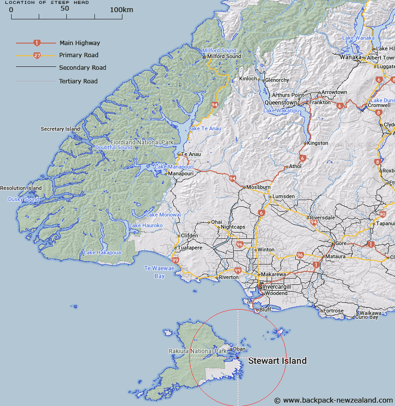
Map showing location of Steep Head


LINZ description: Easternmost point between Cow Island and Ocean Beach. 1.2km East of Trig. H (Geodetic Code A01E). Paterson Survey District.
Latitude: -46.96044
Longitude: 168.186132
Northing: 4787975
Easting: 1233782.2
Land District: Southland
Feat Type: Point


Scroll down to see a more detailed road map and below that a topographical map showing the location of Steep Head. The road map has been supplied by openstreetmap and the topographical map of Steep Head has been supplied by Land Information New Zealand (LINZ).

Yes you can use the top static map for you school/university project or personal website with a link back. Contact me for any commercial use.

Steep Head Map New Zealand


New Zealand places in our database
[ A ] [ B ] [ C ] [ D ] [ E ] [ F ] [ G ] [ H ] [ I ] [ J ] [ K ] [ L ] [ M ] [ N ] [ O ] [ P ] [ Q ] [ R ] [ S ] [ T ] [ U ] [ V ] [ W ] [ X ] [ Y ] [ Z ]


Closest 20 Points to Steep Head

Chasland Point ( 3.6km )   Schoolhouse Point ( 3.63km )   High Point ( 3.7km )   Fifes Point ( 4km )   Chew Tobacco Point ( 4.32km )   Kuri Point ( 4.32km )   Bullers Point (Anglem) ( 4.5km )   Bullers Point ( 4.51km )   Burnt Point ( 5.03km )   Flagstaff Point ( 5.64km )   Ringaringa Point ( 6.39km )   Ackers Point ( 7.37km )   Bull Point ( 7.46km )   Fly Point ( 7.67km )   Lonnekers Point ( 7.71km )   Wast Point ( 7.71km )   Fisherman Point ( 7.72km )   Macrae Point ( 7.74km )   Sprat Point ( 7.76km )   Peterson Point ( 7.76km )   Hicks Point ( 8.39km )   Bragg Point ( 8.54km )   Pikaroro Point ( 8.63km )   Louis Point ( 8.69km )   Cow and Calf Point ( 8.73km )   Horseshoe Point ( 9.55km )   Trumpeter Point ( 9.59km )   Kaipipi Point ( 10.37km )   Prices Point ( 10.49km )   Allans Point ( 11.17km )   Mamaku Point ( 11.44km )   Browns Garden ( 11.48km )   Sterling Head ( 11.88km )   Starling Head ( 11.88km )   Stirling Head ( 11.88km )   Bobs Point ( 12.56km )   Memory Point ( 12.92km )   Dynamite Point ( 13.55km )   Harry West Bay ( 13.59km )   Harry West Point ( 13.59km )