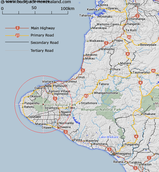
Map showing location of Staircase


LINZ description: Rock formation on north east side of Mount Taranaki or Mount Egmont, on the route from Tahurangi Hut to the summit.
Latitude: -39.288958
Longitude: 174.080712
Northing: 5650600
Easting: 1693200
Land District: Taranaki
Feat Type: Rock


Scroll down to see a more detailed road map and below that a topographical map showing the location of Staircase. The road map has been supplied by openstreetmap and the topographical map of Staircase has been supplied by Land Information New Zealand (LINZ).

Yes you can use the top static map for you school/university project or personal website with a link back. Contact me for any commercial use.

Staircase Map New Zealand


New Zealand places in our database
[ A ] [ B ] [ C ] [ D ] [ E ] [ F ] [ G ] [ H ] [ I ] [ J ] [ K ] [ L ] [ M ] [ N ] [ O ] [ P ] [ Q ] [ R ] [ S ] [ T ] [ U ] [ V ] [ W ] [ X ] [ Y ] [ Z ]


Closest 20 Rocks to Staircase

Staircase ( 0km )   Hen and Chickens ( 0.26km )   Drinking Rock ( 0.51km )   Lion Rock ( 0.71km )   Flounder ( 1.03km )   Bryant Rocks ( 1.09km )   Sawtooth ( 1.55km )   Hammer ( 1.76km )   Boomerang Slip ( 1.82km )   The Sisters ( 1.83km )   Goat Rock ( 17.67km )   Tokamapuna Rock ( 122.38km )   Cathedral Rocks ( 128.44km )   Castle Craig ( 130km )   Anaputa Rock ( 131.43km )   Okehu Rocks ( 151.12km )   Uenukutuhatu Rock ( 151.63km )   Nga Tamahineapani ( 156.1km )   The Sisters ( 156.12km )   Te Mokaiapani ( 156.19km )   Hells Gate ( 156.32km )   Te Wakaapani ( 156.38km )   Flat Rocks ( 156.6km )   Tower Rocks ( 156.6km )   Gibraltar Rock ( 159km )   Hapuka Rocks ( 159.43km )   Rakiura Rocks ( 160.14km )   Rangiura Rocks ( 160.15km )   Jag Rocks ( 165.23km )   Nga Kiore (Jag Rocks) ( 165.23km )   Mason Rock ( 172.77km )   Bishops Rock ( 176.51km )   New Chums Rock ( 177.17km )   Tokahaere Rock ( 178.8km )   Hapuka Rock ( 179.13km )   Tokatara Rocks ( 180.02km )   Boyds Rocks ( 180.24km )   Tawhi ( 182.54km )   Paddock Rocks ( 183.3km )   Grey Rock ( 184.09km )