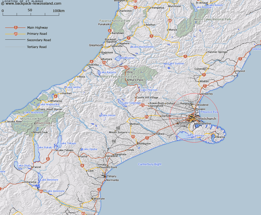
Map showing location of St Albans
LINZ description: Assigning the existing recorded suburb name of St Albans. NZTopo50 BX24-Christchurch, centred around GR 706 821.
Latitude: -43.513333
Longitude: 172.636072
Northing: 5182113.5
Easting: 1570584.9
Land District: Canterbury
Feat Type: Suburb
Latitude: -43.513333
Longitude: 172.636072
Northing: 5182113.5
Easting: 1570584.9
Land District: Canterbury
Feat Type: Suburb

Scroll down to see a more detailed road map and below that a topographical map showing the location of St Albans. The road map has been supplied by openstreetmap and the topographical map of St Albans has been supplied by Land Information New Zealand (LINZ).
Yes you can use the top static map for you school/university project or personal website with a link back. Contact me for any commercial use.
[ A ] [ B ] [ C ] [ D ] [ E ] [ F ] [ G ] [ H ] [ I ] [ J ] [ K ] [ L ] [ M ] [ N ] [ O ] [ P ] [ Q ] [ R ] [ S ] [ T ] [ U ] [ V ] [ W ] [ X ] [ Y ] [ Z ]