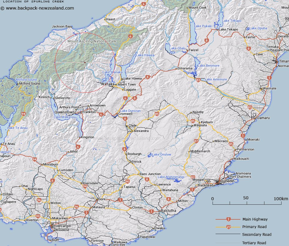
Map showing location of Spurling Creek


LINZ description: Stream flows north into Kitchener River, south west of Aspiring Flats.
Latitude: -44.410465
Longitude: 168.787536
Northing: 5073900
Easting: 1264600
Land District: Otago
Feat Type: Stream


Scroll down to see a more detailed road map and below that a topographical map showing the location of Spurling Creek. The road map has been supplied by openstreetmap and the topographical map of Spurling Creek has been supplied by Land Information New Zealand (LINZ).

Yes you can use the top static map for you school/university project or personal website with a link back. Contact me for any commercial use.

Spurling Creek Map New Zealand


New Zealand places in our database
[ A ] [ B ] [ C ] [ D ] [ E ] [ F ] [ G ] [ H ] [ I ] [ J ] [ K ] [ L ] [ M ] [ N ] [ O ] [ P ] [ Q ] [ R ] [ S ] [ T ] [ U ] [ V ] [ W ] [ X ] [ Y ] [ Z ]


Closest 20 Streams to Spurling Creek

Spurling Creek ( 0km )   Kitchener River ( 1.41km )   Rainbow Stream ( 2.4km )   Glacier Burn ( 4.07km )   Matukituki River East Branch ( 4.07km )   Hester Pinney Creek ( 5.51km )   Hestor Pinney Creek ( 5.51km )   Homestead Creek ( 6.23km )   Ruth Stream ( 6.78km )   Mill Creek or Corner Burn ( 8.65km )   MacPherson Creek ( 9.03km )   Top Creek ( 9.43km )   Graham River ( 9.48km )   Rob Roy Stream ( 9.56km )   Seething Stream ( 9.82km )   Glenfinnan Stream ( 10.18km )   The Bignell ( 10.2km )   Finis Creek ( 10.56km )   Liverpool Stream ( 10.67km )   The Stoker ( 10.89km )   The Binnacle ( 11.16km )   The Funnel ( 11.21km )   The Rudder ( 11.25km )   Sheepyard Creek ( 11.26km )   Niger Stream ( 11.28km )   The Cook ( 11.3km )   The Splasher ( 11.37km )   Bettne River ( 11.44km )   Cargo Creek ( 11.5km )   Cabin Pass Rapids ( 11.61km )   Rob Roy Creek ( 11.65km )   Rough Creek ( 11.75km )   Wishbone Creek ( 11.78km )   The Third Mate ( 11.81km )   Jimmy Creek ( 11.93km )   The Fireman ( 12.05km )   The Steward ( 12.13km )   Astrologer Creek ( 12.16km )   The Wilson ( 12.39km )   Pearson River ( 12.39km )