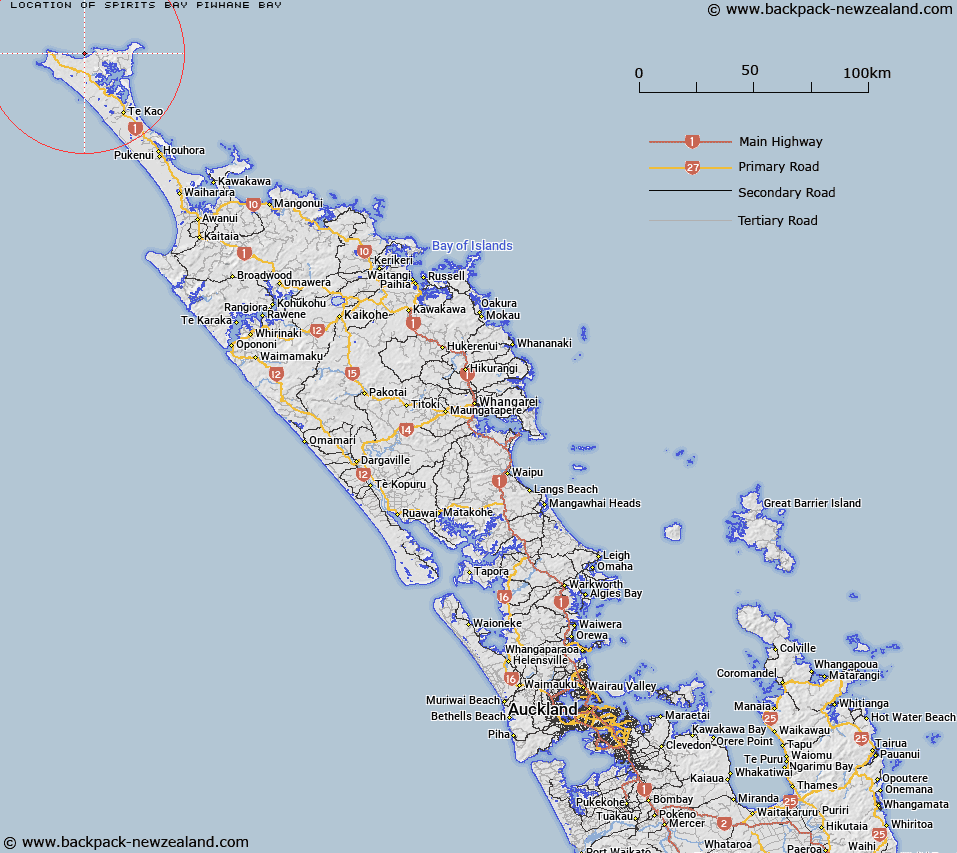
Map showing location of Spirits Bay (Piwhane Bay)


LINZ description: A coastal bay located at the northern extremity of New Zealand between Cape Reinga / Te Rerenga Wairua and Ngataea / Hooper Point. Feature shown on: NZMS260 M02 N02 Edition 1 1984; NZTopo50-AT24 837894
Latitude: -34.437028
Longitude: 172.822361
Northing: 6189371.2
Easting: 1583679.9
Land District: North Auckland
Feat Type: Bay


Scroll down to see a more detailed road map and below that a topographical map showing the location of Spirits Bay (Piwhane Bay). The road map has been supplied by openstreetmap and the topographical map of Spirits Bay (Piwhane Bay) has been supplied by Land Information New Zealand (LINZ).

Yes you can use the top static map for you school/university project or personal website with a link back. Contact me for any commercial use.

Spirits Bay (Piwhane Bay) Map New Zealand


New Zealand places in our database
[ A ] [ B ] [ C ] [ D ] [ E ] [ F ] [ G ] [ H ] [ I ] [ J ] [ K ] [ L ] [ M ] [ N ] [ O ] [ P ] [ Q ] [ R ] [ S ] [ T ] [ U ] [ V ] [ W ] [ X ] [ Y ] [ Z ]


Closest 20 Bays to Spirits Bay (Piwhane Bay)

Te Karaka Bay ( 3.18km )   Te Whau Bay ( 6.95km )   Matirarau Bay ( 8.35km )   Tapotupotu Bay ( 9.88km )   Taurere Bay ( 10.27km )   Te Huka Bay ( 10.52km )   Sandy Bay ( 11.85km )   Tom Bowling Bay ( 12.07km )   Takapaukura / Tom Bowling Bay ( 12.07km )   Snipe Bay ( 12.48km )   Parengarenga Harbour ( 14.43km )   Te Waiawa Bay ( 14.56km )   Ruakawa Bay ( 14.76km )   Ngutukorari Bay ( 16.15km )   Whareana Bay ( 16.85km )   Whareane Bay ( 16.85km )   Rangiora Bay (Maukins Nook) ( 17.2km )   Taraere Bay ( 20.56km )   Great Exhibition Bay ( 21.61km )   Te Kao Bay ( 22.91km )   Henderson Bay ( 45.42km )   ?taipango / Henderson Bay ( 45.42km )   Houhora Harbour ( 48.73km )   Houhora Bay ( 52.31km )   Rangaunu Bay ( 56.12km )   Motutara Bay ( 63.05km )   Trypot Bay ( 63.56km )   Raupo Bay ( 63.98km )   Commodore Bay ( 64.2km )   Waipapa Bay ( 65.8km )   Whataru Bay ( 65.8km )   Karikari Bay ( 65.82km )   Karikari Moana ( 65.82km )   Kohanga Bay ( 66.09km )   Te Kahika ( 68.45km )   Ohungahuna Bay ( 68.9km )   Maitai Bay ( 68.9km )   Waterfall Bay ( 69.31km )   Tasman Bay ( 69.31km )   South East Bay ( 69.83km )