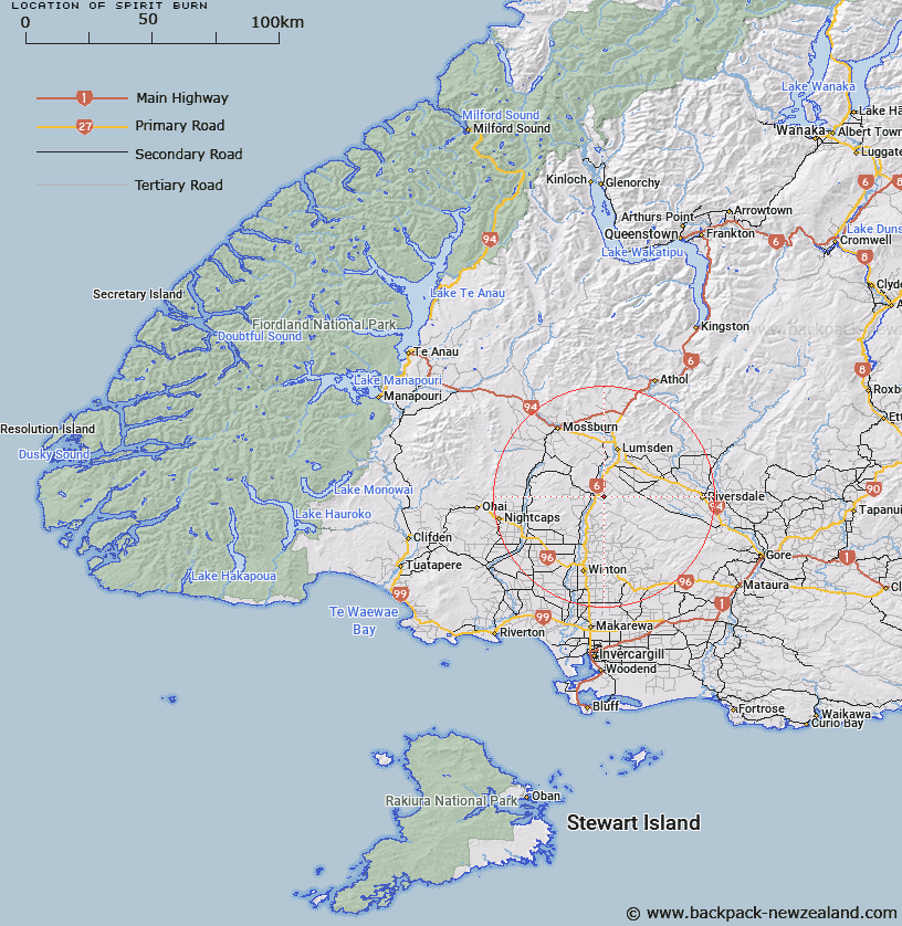
Map showing location of Spirit Burn


LINZ description: Feature shown on: NZMS260 E45 Edition 1 1984
Latitude: -45.896861
Longitude: 168.397417
Northing: 4907103.1
Easting: 1242961.5
Land District: Southland
Feat Type: Stream


Scroll down to see a more detailed road map and below that a topographical map showing the location of Spirit Burn. The road map has been supplied by openstreetmap and the topographical map of Spirit Burn has been supplied by Land Information New Zealand (LINZ).

Yes you can use the top static map for you school/university project or personal website with a link back. Contact me for any commercial use.
Spirit Burn Map New Zealand


New Zealand places in our database
[ A ] [ B ] [ C ] [ D ] [ E ] [ F ] [ G ] [ H ] [ I ] [ J ] [ K ] [ L ] [ M ] [ N ] [ O ] [ P ] [ Q ] [ R ] [ S ] [ T ] [ U ] [ V ] [ W ] [ X ] [ Y ] [ Z ]


Closest 20 Streams to Spirit Burn

Okaiterua Stream ( 5.5km )   Bastion Burn ( 5.97km )   Oreti River ( 6.54km )   Orete River ( 6.54km )   Stag Stream ( 7.68km )   Scaldfeld Creek ( 8.08km )   Dipton Stream ( 8.81km )   Ram Hill Stream ( 9.46km )   Waimea Stream ( 10.39km )   Whisky Still Stream ( 11.24km )   Winton Stream ( 11.95km )   Whisky Still Creek ( 12.38km )   Crosshill Gully Stream ( 12.66km )   Taylors Stream ( 13.11km )   Waimea Stream ( 15.46km )   Cowans Creek ( 15.98km )   Roe Burn ( 15.98km )   North Peak Stream ( 16.16km )   Forest Burn ( 16.6km )   Longridge Stream ( 17.21km )   Coal Creek ( 17.49km )   North Drain ( 17.97km )   South Drain ( 18.17km )   Old Hut Creek ( 18.55km )   Larnach Stream ( 18.64km )   Taringatura Creek ( 18.77km )   Silver Stream ( 19.17km )   Lora Stream ( 19.18km )   Barnhill Creek ( 19.79km )   Bog Burn ( 20.05km )   Campbells Creek ( 20.48km )   Tower Creek ( 20.7km )   Hillpoint Stream ( 20.87km )   Buchanan Creek ( 21.13km )   Flaxy Creek ( 21.68km )   The Elbow ( 21.88km )   Breakdown Creek ( 22.12km )   Moss Burn ( 22.17km )   Terrace Creek ( 22.18km )   Reed Burn ( 23.07km )