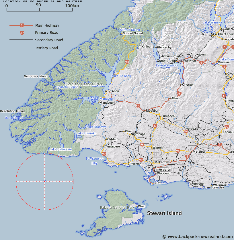
Map showing location of Solander Island (Hautere)


LINZ description: Main island which rises 1,100'. They are erosional remnants of a major volcano. Islands are due south of Big River, 32 miles south of Puysegu Point. Feature shown on Infomap 346-02 Te Wai Pounamu Edition 1 1995
Latitude: -46.572667
Longitude: 166.896761
Northing: 4824200
Easting: 1132360
Land District: Southland
Feat Type: Island


Scroll down to see a more detailed road map and below that a topographical map showing the location of Solander Island (Hautere). The road map has been supplied by openstreetmap and the topographical map of Solander Island (Hautere) has been supplied by Land Information New Zealand (LINZ).

Yes you can use the top static map for you school/university project or personal website with a link back. Contact me for any commercial use.

Solander Island (Hautere) Map New Zealand


New Zealand places in our database
[ A ] [ B ] [ C ] [ D ] [ E ] [ F ] [ G ] [ H ] [ I ] [ J ] [ K ] [ L ] [ M ] [ N ] [ O ] [ P ] [ Q ] [ R ] [ S ] [ T ] [ U ] [ V ] [ W ] [ X ] [ Y ] [ Z ]


Closest 20 Islands to Solander Island (Hautere)

Little Solander Island ( 2.63km )   Green Islets ( 39.07km )   Cemetery Island ( 54.09km )   Weka or Long Island ( 55.05km )   Coal Island ( 55.11km )   Steep-to Island ( 55.6km )   Round Island ( 56.46km )   Cording Islands ( 58.14km )   Spit Islands ( 59.1km )   Single Tree Island ( 59.16km )   Codfish Island ( 59.55km )   Whenuahou Island ( 59.55km )   Codfish Island / Whenua Hou ( 59.55km )   High Rock ( 64.23km )   Rugged Islands ( 64.49km )   Garden Islands ( 64.62km )   Chalky Island ( 64.79km )   Pinnacle Rock ( 64.81km )   Bay Rock ( 65.6km )   Finger Rocks ( 66.48km )   Zero Nugget ( 66.62km )   Passage Islands ( 67.38km )   Seal Rock ( 67.69km )   Old Man Rock ( 68.23km )   Only Islands ( 68.23km )   Shark Island ( 68.99km )   Great Island ( 69.74km )   Monkey Island ( 70km )   Providence Rocks ( 70.01km )   Small Craft Harbour Islands ( 70.07km )   Bishop and Clerks Islands ( 70.31km )   Little Island ( 70.53km )   Guide Rock ( 71.68km )   Station Islet ( 71.75km )   Ernest Islands ( 72.11km )   Mary Island ( 73.02km )   Rarotoka Island ( 73.55km )   Mokiti Island (Little Moggy) ( 74.43km )   Mokiti Island ( 74.43km )   Mokiiti/Little Moggy Island ( 74.43km )