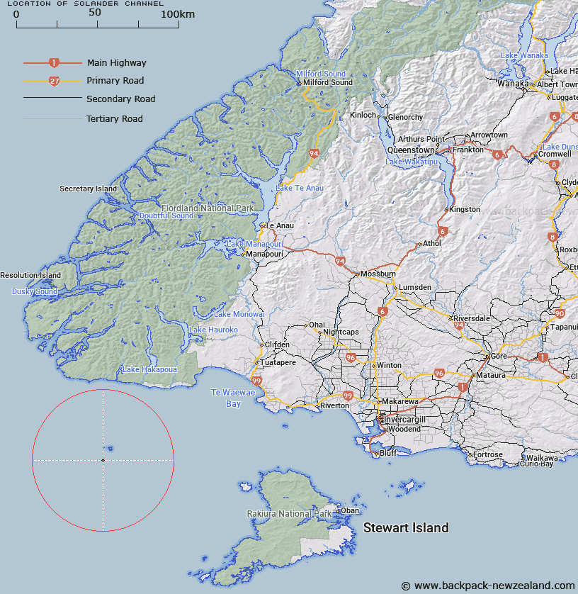
Map showing location of Solander Channel
LINZ description: Puysegur Trough A channel that opens out into the head of the Solander Trough. About 50 km in a W-E direction and about 60 km N-S.
Latitude: -46.633
Longitude: 166.857
Northing: 4817260.8
Easting: 1129838.2
Land District: Southland
Feat Type: Seachannel
Latitude: -46.633
Longitude: 166.857
Northing: 4817260.8
Easting: 1129838.2
Land District: Southland
Feat Type: Seachannel

Scroll down to see a more detailed road map and below that a topographical map showing the location of Solander Channel. The road map has been supplied by openstreetmap and the topographical map of Solander Channel has been supplied by Land Information New Zealand (LINZ).
Yes you can use the top static map for you school/university project or personal website with a link back. Contact me for any commercial use.
[ A ] [ B ] [ C ] [ D ] [ E ] [ F ] [ G ] [ H ] [ I ] [ J ] [ K ] [ L ] [ M ] [ N ] [ O ] [ P ] [ Q ] [ R ] [ S ] [ T ] [ U ] [ V ] [ W ] [ X ] [ Y ] [ Z ]