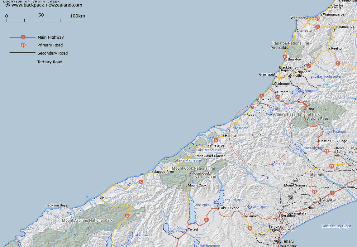
Map showing location of Smyth Creek
LINZ description: Left bank tributary of Whitcombe River rising in the Southern Alps 2km West of Mount McWhirter, flowing westward and joining Whitcombe River between Chairmans Creek and McWhirter Creek. Block V Murray Survey District.
Latitude: -43.134887
Longitude: 171.006393
Northing: 5222277
Easting: 1437858.1
Land District: Westland
Feat Type: Stream
Latitude: -43.134887
Longitude: 171.006393
Northing: 5222277
Easting: 1437858.1
Land District: Westland
Feat Type: Stream

Scroll down to see a more detailed road map and below that a topographical map showing the location of Smyth Creek. The road map has been supplied by openstreetmap and the topographical map of Smyth Creek has been supplied by Land Information New Zealand (LINZ).
Yes you can use the top static map for you school/university project or personal website with a link back. Contact me for any commercial use.
[ A ] [ B ] [ C ] [ D ] [ E ] [ F ] [ G ] [ H ] [ I ] [ J ] [ K ] [ L ] [ M ] [ N ] [ O ] [ P ] [ Q ] [ R ] [ S ] [ T ] [ U ] [ V ] [ W ] [ X ] [ Y ] [ Z ]