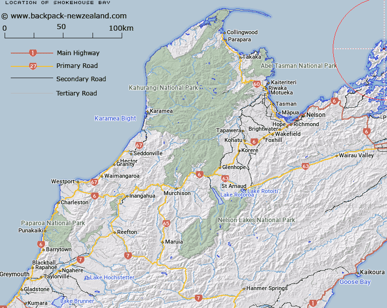
Map showing location of Smokehouse Bay


LINZ description: Bay on east shore of South Arm, Port Hardy, D'Urville Island, immediately East of Pipe I (Geodetic Code AM87). D'Urville Survey District.
Latitude: -40.789806
Longitude: 173.884215
Northing: 5484200
Easting: 1674600
Land District: Nelson
Feat Type: Bay


Scroll down to see a more detailed road map and below that a topographical map showing the location of Smokehouse Bay. The road map has been supplied by openstreetmap and the topographical map of Smokehouse Bay has been supplied by Land Information New Zealand (LINZ).

Yes you can use the top static map for you school/university project or personal website with a link back. Contact me for any commercial use.

Smokehouse Bay Map New Zealand


New Zealand places in our database
[ A ] [ B ] [ C ] [ D ] [ E ] [ F ] [ G ] [ H ] [ I ] [ J ] [ K ] [ L ] [ M ] [ N ] [ O ] [ P ] [ Q ] [ R ] [ S ] [ T ] [ U ] [ V ] [ W ] [ X ] [ Y ] [ Z ]


Closest 20 Bays to Smokehouse Bay

Smokehouse Bay ( 0km )   South Arm ( 1.03km )   Allman Bay ( 1.36km )   Rene Cove ( 1.71km )   Wells Arm ( 1.85km )   Wells Bay ( 1.97km )   Waiua Bay ( 2.43km )   Moki Bay ( 2.62km )   East Arm ( 2.69km )   Port Hardy ( 3.32km )   Deserter Bay ( 3.47km )   Camp Bay ( 4.26km )   Massacre Bay ( 4.82km )   Punaatawake Bay ( 5.05km )   Punaatawheke Bay ( 5.05km )   Ot? Bay ( 5.1km )   Waitai Bay ( 5.24km )   Whare?tea Bay ( 5.26km )   Whareata Bay ( 5.26km )   Low Neck Bay ( 5.35km )   Pireka (Low Neck Bay) ( 5.35km )   Low Neck Bay ( 5.35km )   Skull Bay ( 5.7km )   Lookout Bay ( 6.01km )   Swamp Bay ( 6.59km )   Black Reef Bay ( 6.89km )   Garden Bay ( 7.59km )   Mill Arm ( 7.61km )   Horea Bay ( 7.83km )   Pauakaiwawe (McLarens Bay) ( 8.32km )   Mokau Bay ( 8.44km )   Catherine Cove ( 8.73km )   Paddy Bay ( 8.76km )   Greville Harbour ( 8.8km )   Greville Harbour / Wharariki ( 8.8km )   Whare-ririki Bay ( 8.82km )   Wharairiki Bay ( 8.87km )   Whare-ririki Bay ( 8.87km )   Cherry Tree Bay ( 9.23km )   Punt Arm ( 9.46km )