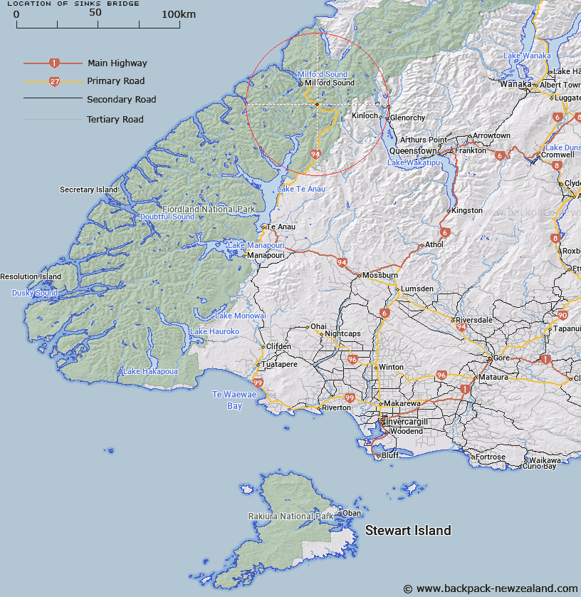
Map showing location of Sinks Bridge
LINZ description: Bridge in a basin ringed by rock which is crossed by the Hollyford River. On the Te Anau - Milford road, 97.8km from Te Anau, 500m North-west of Cirque Creek. Caples Survey District.
Latitude: -44.779453
Longitude: 168.010321
Northing: 5029425.6
Easting: 1205227.1
Land District: Southland
Feat Type: Bridge
Latitude: -44.779453
Longitude: 168.010321
Northing: 5029425.6
Easting: 1205227.1
Land District: Southland
Feat Type: Bridge

Scroll down to see a more detailed road map and below that a topographical map showing the location of Sinks Bridge. The road map has been supplied by openstreetmap and the topographical map of Sinks Bridge has been supplied by Land Information New Zealand (LINZ).
Yes you can use the top static map for you school/university project or personal website with a link back. Contact me for any commercial use.
[ A ] [ B ] [ C ] [ D ] [ E ] [ F ] [ G ] [ H ] [ I ] [ J ] [ K ] [ L ] [ M ] [ N ] [ O ] [ P ] [ Q ] [ R ] [ S ] [ T ] [ U ] [ V ] [ W ] [ X ] [ Y ] [ Z ]