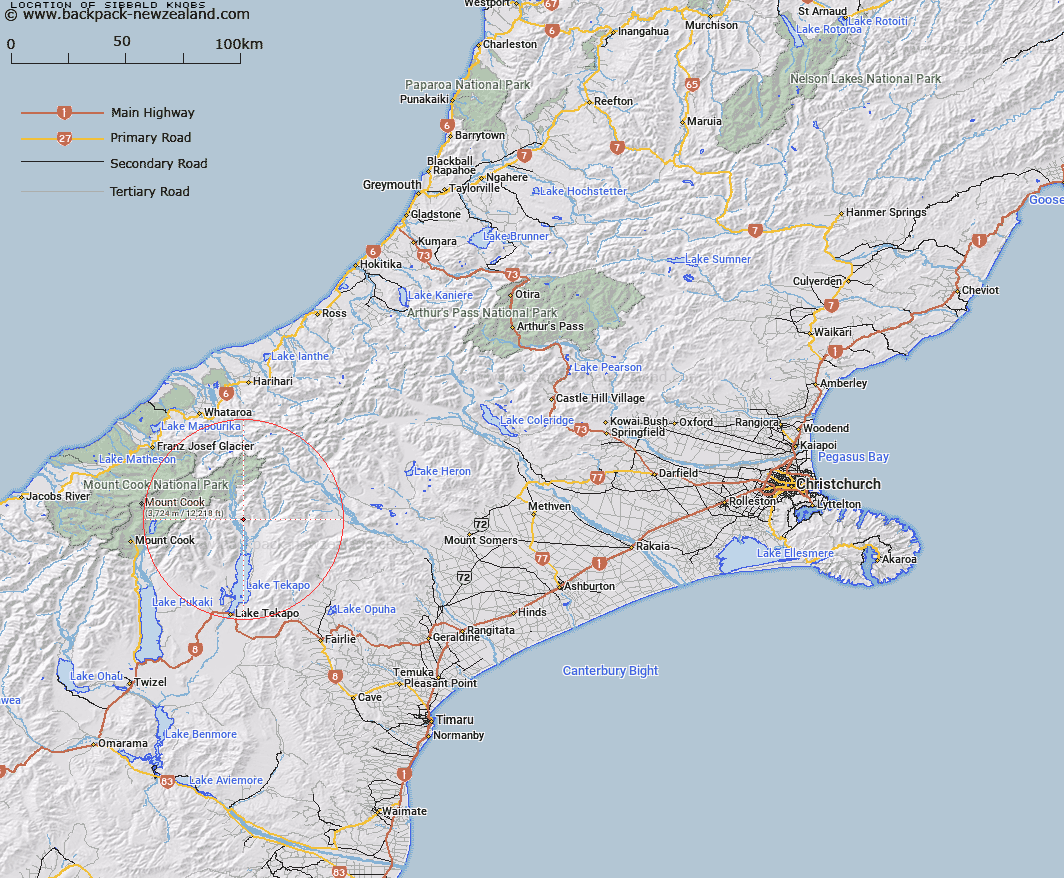
Map showing location of Sibbald Knobs


LINZ description: Small peaks on eastern side of Godley River, at the South end of Sibbald Range, 1.75km South of Mount Erebus. Block XIV Godley Survey District.
Latitude: -43.653042
Longitude: 170.533803
Northing: 5163706.3
Easting: 1401123.3
Land District: Canterbury
Feat Type: Hill


Scroll down to see a more detailed road map and below that a topographical map showing the location of Sibbald Knobs. The road map has been supplied by openstreetmap and the topographical map of Sibbald Knobs has been supplied by Land Information New Zealand (LINZ).

Yes you can use the top static map for you school/university project or personal website with a link back. Contact me for any commercial use.

Sibbald Knobs Map New Zealand


New Zealand places in our database
[ A ] [ B ] [ C ] [ D ] [ E ] [ F ] [ G ] [ H ] [ I ] [ J ] [ K ] [ L ] [ M ] [ N ] [ O ] [ P ] [ Q ] [ R ] [ S ] [ T ] [ U ] [ V ] [ W ] [ X ] [ Y ] [ Z ]


Closest 20 Hills to Sibbald Knobs

Sibbald Knobs ( 0km )   Mount Erebus ( 1.74km )   Kea Knob ( 2.56km )   Observation Hill ( 3.65km )   Charlies Knob ( 5.66km )   Taranaki Peak ( 7.54km )   Pikes Peak ( 8.4km )   Mount Radove ( 9.28km )   Mount Ross ( 11.24km )   Mount Sibbald ( 11.38km )   Ajax Peak ( 12.56km )   Mount Hutton ( 12.68km )   Mount Ronald Adair ( 12.69km )   Mount Kenneth ( 12.9km )   Mount Olaf ( 13.18km )   Mount Chevalier ( 13.29km )   Mount Gerald ( 13.53km )   Paris ( 13.65km )   Mount Conrad ( 13.77km )   Beuzenberg Peak ( 13.96km )   Captains Peak ( 14.44km )   Mount Toby ( 14.44km )   Mount Lucia ( 14.45km )   The Ant-hill ( 14.72km )   Mount Haszard ( 14.91km )   Mistake Peak ( 14.96km )   Mount Hope ( 15.21km )   Braun-Elwert Peak ( 15.29km )   Mount Tamaki ( 15.46km )   Mount Pattisson ( 15.96km )   Mount Richmond ( 16.03km )   Electra Peak ( 16.04km )   Pukewhero Peak ( 16.08km )   Tantalus ( 16.35km )   Mount Jukes ( 16.37km )   Mount Acland ( 16.65km )   Graf Spee ( 16.68km )   Coopers Mate ( 16.7km )   The Thumbs ( 16.92km )   Priam ( 16.98km )