Map showing location of Shearer Creek


LINZ description: Feature shown on: NZMS260 I33 Edition 1 1982
Latitude: -42.967222
Longitude: 170.758944
Northing: 5240388.3
Easting: 1417234.8
Land District: Westland
Feat Type: Stream


Scroll down to see a more detailed road map and below that a topographical map showing the location of Shearer Creek. The road map has been supplied by openstreetmap and the topographical map of Shearer Creek has been supplied by Land Information New Zealand (LINZ).

Yes you can use the top static map for you school/university project or personal website with a link back. Contact me for any commercial use.
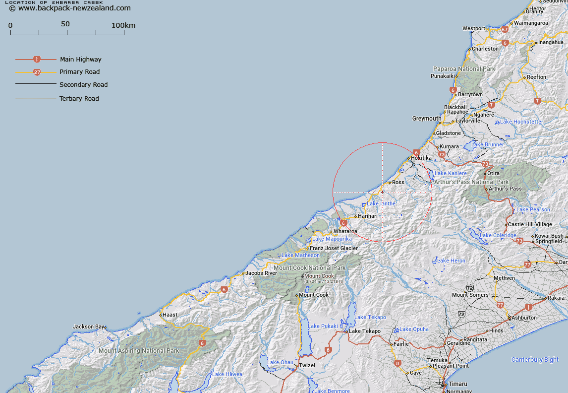
Shearer Creek Map New Zealand


New Zealand places in our database
[ A ] [ B ] [ C ] [ D ] [ E ] [ F ] [ G ] [ H ] [ I ] [ J ] [ K ] [ L ] [ M ] [ N ] [ O ] [ P ] [ Q ] [ R ] [ S ] [ T ] [ U ] [ V ] [ W ] [ X ] [ Y ] [ Z ]


Closest 20 Streams to Shearer Creek

Gribben Creek ( 1.67km )   Mosquito Creek ( 1.76km )   Bullock Creek ( 2.8km )   Searle Stream ( 2.88km )   Sandstone Creek ( 3.03km )   Campbell Creek ( 3.41km )   Dickey Creek ( 3.45km )   Schonfelder Creek ( 3.48km )   Black George Creek ( 3.64km )   Wilson Creek ( 3.76km )   Medhurst Creek ( 3.79km )   Granite Creek ( 3.88km )   Ferguson Creek ( 4km )   Leslie Creek ( 4.04km )   Carley Creek ( 4.27km )   Hudson Creek ( 4.38km )   Waikoriri Creek ( 4.59km )   Pearn Brook ( 4.68km )   Millson Creek ( 4.84km )   Actual Creek ( 4.86km )   Hope Creek ( 4.87km )   Veronica Creek ( 4.93km )   Swiss Creek ( 5.12km )   Black Creek ( 5.26km )   Palmer Creek ( 5.3km )   Thiele Creek ( 5.55km )   Stoney Creek ( 5.6km )   Redman Creek ( 5.61km )   Scandinavian Creek ( 5.73km )   Mine Creek ( 5.87km )   Silver Gutter ( 5.89km )   Kakapotahi River (Little Waitaha River) ( 5.89km )   Hall Stream ( 5.92km )   Squatters Creek ( 6.03km )   Cameron Creek ( 6.03km )   Ellis Creek ( 6.05km )   Langdon Creek ( 6.35km )   Simpson Creek ( 6.48km )   Young Creek ( 6.58km )   Long Tunnel Creek ( 6.71km )