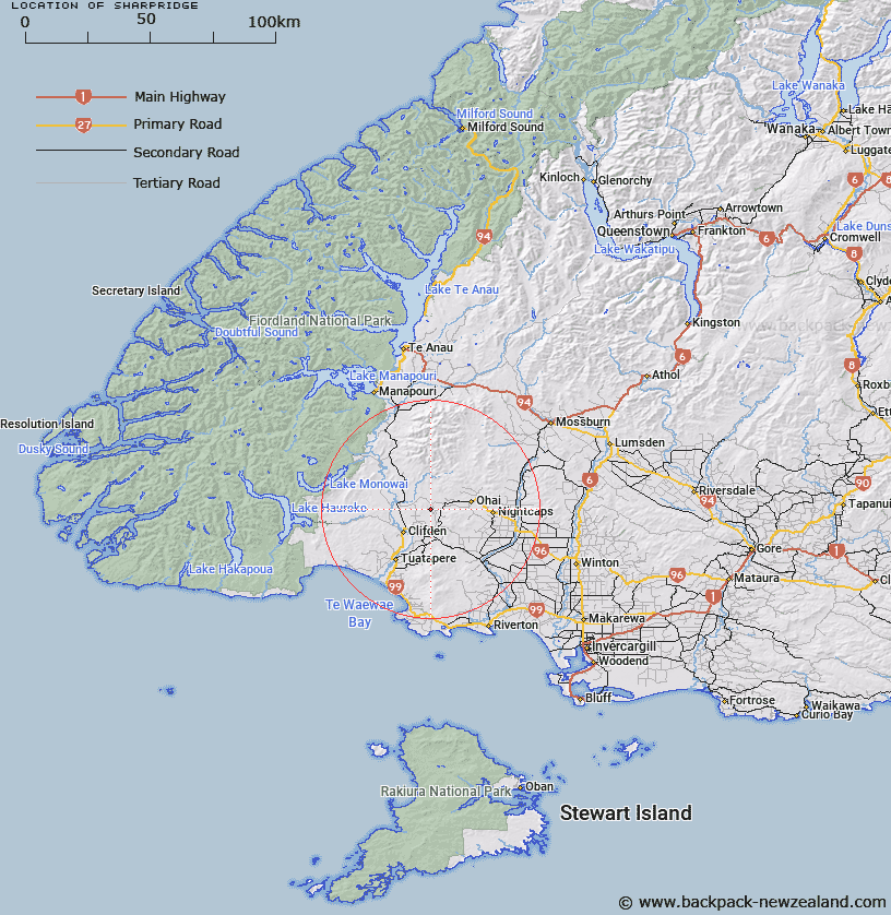
Map showing location of Sharpridge


LINZ description: Feature shown on: NZMS260 D45 Edition 1 1985
Latitude: -45.956806
Longitude: 167.811806
Northing: 4897650.1
Easting: 1197971.8
Land District: Southland
Feat Type: Ridge


Scroll down to see a more detailed road map and below that a topographical map showing the location of Sharpridge. The road map has been supplied by openstreetmap and the topographical map of Sharpridge has been supplied by Land Information New Zealand (LINZ).

Yes you can use the top static map for you school/university project or personal website with a link back. Contact me for any commercial use.
Sharpridge Map New Zealand


New Zealand places in our database
[ A ] [ B ] [ C ] [ D ] [ E ] [ F ] [ G ] [ H ] [ I ] [ J ] [ K ] [ L ] [ M ] [ N ] [ O ] [ P ] [ Q ] [ R ] [ S ] [ T ] [ U ] [ V ] [ W ] [ X ] [ Y ] [ Z ]


Closest 20 Ridges to Sharpridge

Sharpridge ( 0km )   Scrubby Spur ( 13.13km )   Heartbreak Spur ( 16.78km )   Centre Spur ( 25.53km )   Gillies Spur ( 25.96km )   Cheviot Hills ( 35.75km )   Hump Ridge ( 43.11km )   Heale Ridge ( 48.54km )   The Ramparts ( 55.53km )   Short Spur ( 82.37km )   Wether Ridge ( 83.71km )   Ewe Ridge ( 84.63km )   Anchor Ridge ( 85.57km )   Razorback ( 85.94km )   Iron Spur ( 87.46km )   Centre Spur ( 93.76km )   Ross Spur ( 94.47km )   Way Spur ( 97.13km )   Thomson Ridge ( 99.38km )   The Falkans Faces ( 99.69km )   Station Ridge ( 99.79km )   Disputed Spur ( 100.38km )   Archies Spur ( 101.85km )   Sandy Spur ( 104.61km )   Master Ridge ( 105.99km )   Ripper Ridge ( 107.72km )   Daw Spur ( 108.08km )   Long Spur ( 108.75km )   Bare Spur ( 112.47km )   Gorge Spur ( 113.69km )   Black Spur ( 114.1km )   Garden Spur ( 114.83km )   Island Spur ( 116.53km )   Carriage Drive ( 117.63km )   Commissioners Spur ( 117.66km )   Table Ridge ( 118km )   Reidys Spur ( 120.27km )   Dagg Ridge ( 120.43km )   Williamsons Spur ( 120.47km )   Colonial Ridge ( 120.61km )