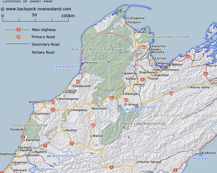
Map showing location of Sandy Peak


LINZ description: A peak approximately 6km East of the "Pyramid", at the eastern end of Garibaldi Ridge. 1377m. Leslie Survey District.
Latitude: -41.234599
Longitude: 172.454438
Northing: 5435056.3
Easting: 1554280.4
Land District: Nelson
Feat Type: Hill


Scroll down to see a more detailed road map and below that a topographical map showing the location of Sandy Peak. The road map has been supplied by openstreetmap and the topographical map of Sandy Peak has been supplied by Land Information New Zealand (LINZ).

Yes you can use the top static map for you school/university project or personal website with a link back. Contact me for any commercial use.

Sandy Peak Map New Zealand


New Zealand places in our database
[ A ] [ B ] [ C ] [ D ] [ E ] [ F ] [ G ] [ H ] [ I ] [ J ] [ K ] [ L ] [ M ] [ N ] [ O ] [ P ] [ Q ] [ R ] [ S ] [ T ] [ U ] [ V ] [ W ] [ X ] [ Y ] [ Z ]


Closest 20 Hills to Sandy Peak

Pyramid ( 6.36km )   Mount Olive ( 8.31km )   Mount Garibaldi ( 9.55km )   The Haystack ( 14.45km )   Loveridge Peak ( 14.89km )   Mount Kendall ( 14.96km )   Tableland ( 15.31km )   Balloon Hill ( 15.52km )   Mount Peel ( 15.67km )   Mount Star ( 15.93km )   Mount Ranolf ( 16.34km )   Mount Mytton ( 16.53km )   Bald Knob ( 16.81km )   The Twins ( 16.97km )   Fenian ( 16.98km )   Mount Sodom ( 17.49km )   Mount Prospect ( 17.76km )   Mount Luna ( 17.77km )   Mount Baldy ( 18.27km )   Mount Arthur ( 19.1km )   Mount Cobb ( 19.14km )   Mount Gomorrah ( 19.16km )   Stormy ( 19.41km )   Gordons Pyramid ( 19.44km )   Winter Peak ( 19.47km )   Iron Hill ( 19.78km )   Mount Lester ( 20.01km )   Mount Scarlett ( 20.18km )   Mount Benson ( 20.27km )   Biggs Tops ( 20.37km )   Mount Brilliant ( 20.39km )   Centre Mountain ( 20.95km )   Xenicus Peak ( 21.02km )   Mount Gibbs ( 21.17km )   Mount Patriarch ( 21.25km )   Mount Dean ( 21.37km )   Mount Lockett ( 21.96km )   Elfin Bluff ( 22.06km )   Black Rat ( 22.29km )   Barron Bold ( 22.32km )