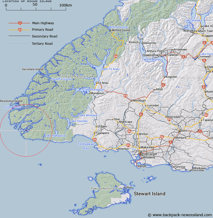
Map showing location of Round Island


LINZ description: Feature shown on: NZMS260 B46 B47
Latitude: -46.087222
Longitude: 166.681306
Northing: 4876819.1
Easting: 1111536.1
Land District: Southland
Feat Type: Island


Scroll down to see a more detailed road map and below that a topographical map showing the location of Round Island. The road map has been supplied by openstreetmap and the topographical map of Round Island has been supplied by Land Information New Zealand (LINZ).

Yes you can use the top static map for you school/university project or personal website with a link back. Contact me for any commercial use.
Round Island Map New Zealand


New Zealand places in our database
[ A ] [ B ] [ C ] [ D ] [ E ] [ F ] [ G ] [ H ] [ I ] [ J ] [ K ] [ L ] [ M ] [ N ] [ O ] [ P ] [ Q ] [ R ] [ S ] [ T ] [ U ] [ V ] [ W ] [ X ] [ Y ] [ Z ]


Closest 20 Islands to Round Island

Weka or Long Island ( 1.59km )   Steep-to Island ( 1.71km )   Cording Islands ( 1.99km )   Single Tree Island ( 2.79km )   Cemetery Island ( 2.87km )   Spit Islands ( 4.2km )   Coal Island ( 4.71km )   Garden Islands ( 9.34km )   Pinnacle Rock ( 11.39km )   Seal Rock ( 12.52km )   Bay Rock ( 12.53km )   Chalky Island ( 12.76km )   Passage Islands ( 13.16km )   Small Craft Harbour Islands ( 13.66km )   Finger Rocks ( 13.8km )   Zero Nugget ( 14.18km )   Little Island ( 14.32km )   Great Island ( 14.48km )   Station Islet ( 15.31km )   Green Islets ( 17.64km )   Providence Rocks ( 18.23km )   Only Islands ( 19.85km )   Heron Island ( 33.1km )   Curlew Island ( 33.68km )   Crayfish Island ( 33.86km )   Indian Island ( 35.29km )   Two Sisters ( 35.47km )   Thrum Cap ( 35.81km )   Nomans Island ( 36.11km )   Station Island ( 36.24km )   Long Island ( 36.25km )   Garnet Rock ( 36.43km )   Passage Islands ( 36.77km )   Many Islands ( 37.05km )   Stop Island ( 37.32km )   Prove Island ( 37.37km )   Seal Islands ( 37.66km )   Seal Rock ( 37.72km )   Useless Islands ( 38.3km )   Anchor Island ( 38.5km )