Map showing location of Rough Creek


LINZ description: Feature shown on: NZMS260 N31 Edition 1 1988
Latitude: -42.313528
Longitude: 173.186389
Northing: 5315395.4
Easting: 1615360.3
Land District: Marlborough
Feat Type: Stream
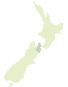

Scroll down to see a more detailed road map and below that a topographical map showing the location of Rough Creek. The road map has been supplied by openstreetmap and the topographical map of Rough Creek has been supplied by Land Information New Zealand (LINZ).

Yes you can use the top static map for you school/university project or personal website with a link back. Contact me for any commercial use.
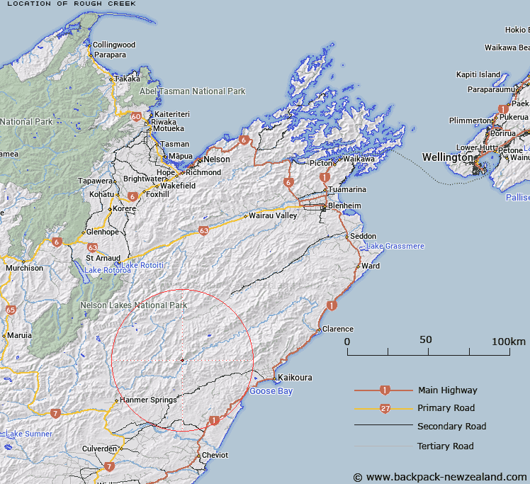
Rough Creek Map New Zealand


New Zealand places in our database
[ A ] [ B ] [ C ] [ D ] [ E ] [ F ] [ G ] [ H ] [ I ] [ J ] [ K ] [ L ] [ M ] [ N ] [ O ] [ P ] [ Q ] [ R ] [ S ] [ T ] [ U ] [ V ] [ W ] [ X ] [ Y ] [ Z ]


Closest 20 Streams to Rough Creek

Winterburn Stream ( 4.38km )   Palmer Stream ( 5.67km )   Half Moon Stream ( 7.55km )   Clarence River ( 8.18km )   Waiau Toa / Clarence River ( 8.18km )   Pleasant Stream ( 8.22km )   Dillon River ( 9.24km )   Gloster River ( 9.37km )   Devils Stream ( 9.88km )   Stoat Creek ( 10.13km )   Gore Stream ( 10.23km )   Alfred Stream ( 11.69km )   Tweed River ( 11.82km )   Willows Stream ( 12.63km )   Robson Stream ( 13.23km )   Ward Stream ( 13.41km )   Tinline Creek ( 13.46km )   Blinkers Stream ( 13.57km )   Mason River ( 13.74km )   Yarra River ( 14.03km )   Rough Stream ( 14.1km )   Towy River ( 14.14km )   Cameron Stream ( 14.21km )   McGuires Stream ( 14.3km )   Guide River ( 14.5km )   Deep Stream ( 14.85km )   Right Branch Charwell River ( 14.96km )   Nicholson Stream ( 16.03km )   Hossack River ( 16.16km )   Cunningham Stream ( 16.19km )   Pettrill Stream ( 16.52km )   Sawney Stream ( 17.14km )   Limestone Stream ( 17.32km )   Lottery River ( 17.54km )   The Fell ( 17.62km )   Sawyers Creek ( 17.86km )   Black Rock Stream ( 17.94km )   Boundary Stream ( 18.18km )   Dunbar Stream ( 18.32km )   Stone Jug Stream ( 18.34km )