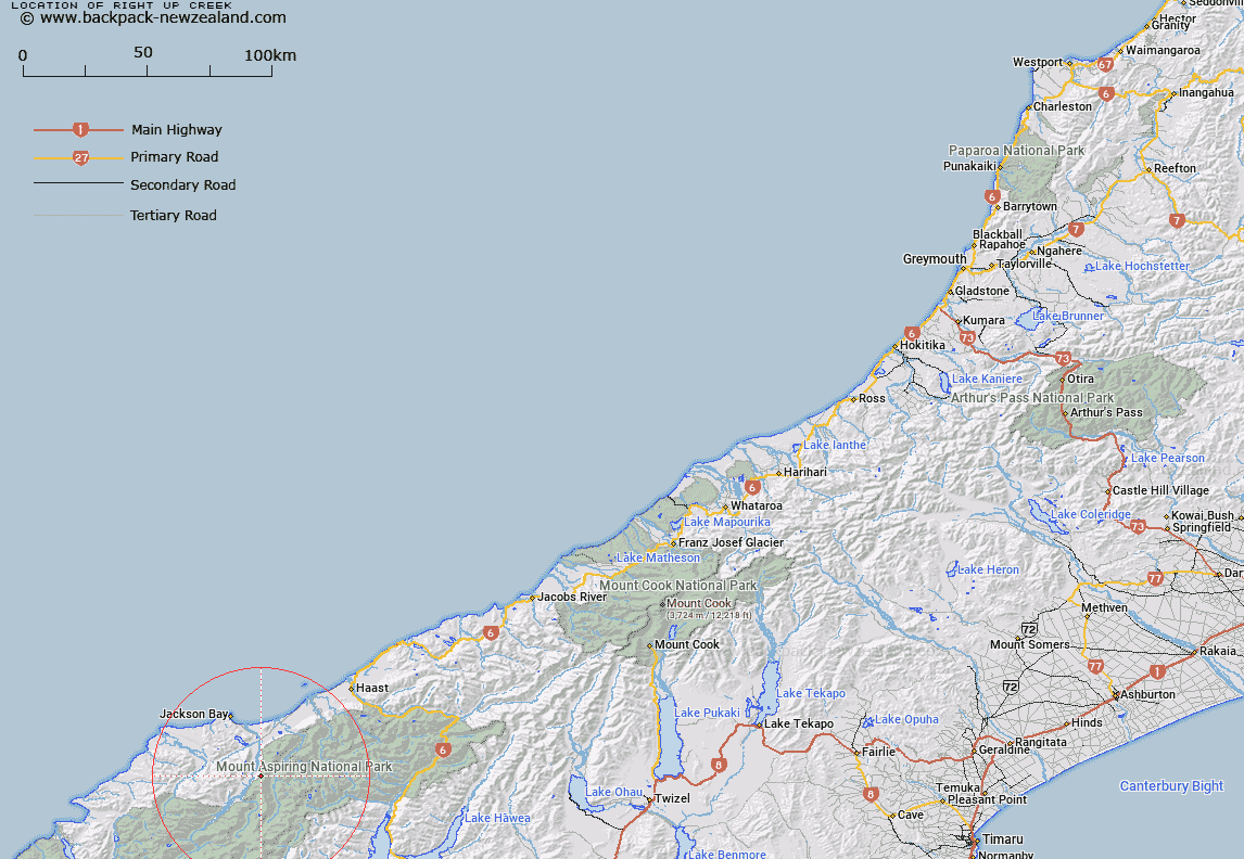
Map showing location of Right-Up Creek


LINZ description: Feature shown on: NZMS260 E37 E38 Edition 1 1995 Limited Revision 1997
Latitude: -44.178333
Longitude: 168.719917
Northing: 5099405.8
Easting: 1257868.2
Land District: Westland
Feat Type: Stream


Scroll down to see a more detailed road map and below that a topographical map showing the location of Right-Up Creek. The road map has been supplied by openstreetmap and the topographical map of Right-Up Creek has been supplied by Land Information New Zealand (LINZ).

Yes you can use the top static map for you school/university project or personal website with a link back. Contact me for any commercial use.
Right-Up Creek Map New Zealand


New Zealand places in our database
[ A ] [ B ] [ C ] [ D ] [ E ] [ F ] [ G ] [ H ] [ I ] [ J ] [ K ] [ L ] [ M ] [ N ] [ O ] [ P ] [ Q ] [ R ] [ S ] [ T ] [ U ] [ V ] [ W ] [ X ] [ Y ] [ Z ]


Closest 20 Streams to Right-Up Creek

Top Creek ( 1.34km )   Nightfall Stream ( 2.03km )   Landslip Creek ( 2.88km )   Glide-Down Creek ( 3.37km )   Lichen Creek ( 3.48km )   Pleasant Creek ( 3.52km )   Soak Stream ( 3.6km )   Pounding Torrent ( 4.01km )   Fingals Creek ( 4.09km )   Recess Creek ( 4.17km )   Mongana creek ( 4.27km )   Fraser Creek ( 4.41km )   Roaring Creek ( 5.57km )   Dark Creek ( 5.6km )   Notch Creek ( 5.65km )   Thomson Creek ( 5.74km )   Downpour Torrent ( 5.78km )   Loop Creek ( 5.84km )   Chatter Creek ( 6.24km )   Howe Creek ( 6.31km )   Tower Hill Creek ( 6.52km )   Lake Clarke ( 6.86km )   Frosty Creek ( 6.88km )   Shady Creek ( 6.93km )   Sundown Creek ( 7.02km )   Boulder Point ( 7.19km )   Drake River ( 7.3km )   Jackass Creek ( 7.64km )   Sandies Creek ( 7.77km )   Missor Rivulet ( 7.96km )   Rippling Water ( 7.97km )   Sweetheart Creek ( 7.99km )   Top Creek ( 8.31km )   Music Creek ( 8.39km )   Sutherland Creek ( 8.43km )   Dancing Torrent ( 8.43km )   Madcap Torrent ( 8.52km )   Nob Creek ( 8.53km )   Taffy Creek ( 8.59km )   Donald River ( 8.71km )