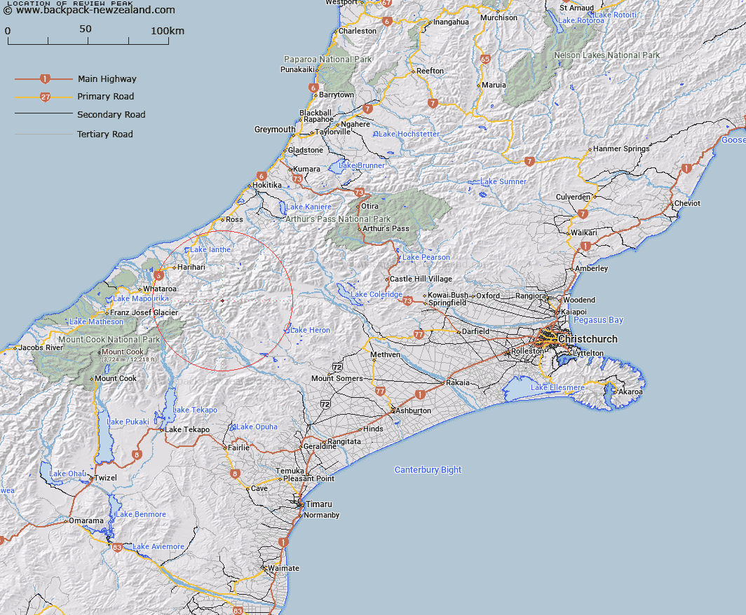
Map showing location of Review Peak


LINZ description: Peak at the head of the Rangitata River near Mt Nicholson, above the McCoy, Shanks and Lyell Glaciers in the Froude Range.
Latitude: -43.320333
Longitude: 170.815509
Northing: 5201294.6
Easting: 1422870.9
Land District: Canterbury
Feat Type: Hill


Scroll down to see a more detailed road map and below that a topographical map showing the location of Review Peak. The road map has been supplied by openstreetmap and the topographical map of Review Peak has been supplied by Land Information New Zealand (LINZ).

Yes you can use the top static map for you school/university project or personal website with a link back. Contact me for any commercial use.

Review Peak Map New Zealand


New Zealand places in our database
[ A ] [ B ] [ C ] [ D ] [ E ] [ F ] [ G ] [ H ] [ I ] [ J ] [ K ] [ L ] [ M ] [ N ] [ O ] [ P ] [ Q ] [ R ] [ S ] [ T ] [ U ] [ V ] [ W ] [ X ] [ Y ] [ Z ]


Closest 20 Hills to Review Peak

Nicholson Peak ( 0.9km )   View Peak ( 1.06km )   Mount Goethe ( 2.25km )   Malcolm Peak ( 2.29km )   Scimitar Peak ( 2.43km )   Spearpoint Peak ( 3.07km )   Bardolph Peak ( 3.16km )   Pistol Peak ( 3.16km )   Nym Peak ( 3.32km )   The Warrior ( 3.6km )   Warrior Peak ( 3.6km )   Hidden Peak ( 3.9km )   Mount Stoddart ( 4.25km )   Amazon Peak ( 4.34km )   Prelude Peak ( 4.71km )   Bandit Peak ( 5.07km )   Blair Peak ( 5.32km )   Mount Renegade ( 5.51km )   Outlaw Peak ( 5.65km )   Snowy Peak ( 5.9km )   The Sentinel ( 6.02km )   Mount Kinkel ( 6.19km )   Mount Lambert ( 6.67km )   Johnstone Mount ( 7.01km )   Mount Westland ( 7.35km )   Mount Tyndall ( 7.42km )   False Blue Lookout ( 7.46km )   Mount Ramsay ( 7.54km )   Jollie Sisters Peaks ( 7.71km )   Baker Peak ( 7.72km )   Jollie Sisters ( 7.79km )   Newton Peak ( 7.98km )   Hells Gates ( 8.24km )   Quoin Peak ( 8.42km )   Schrund Peak ( 8.95km )   Meins Knob ( 8.98km )   Dan Peak ( 9.03km )   Blue Lookout ( 9.04km )   Tauroa Peak ( 9.19km )   Mount Lord ( 9.43km )