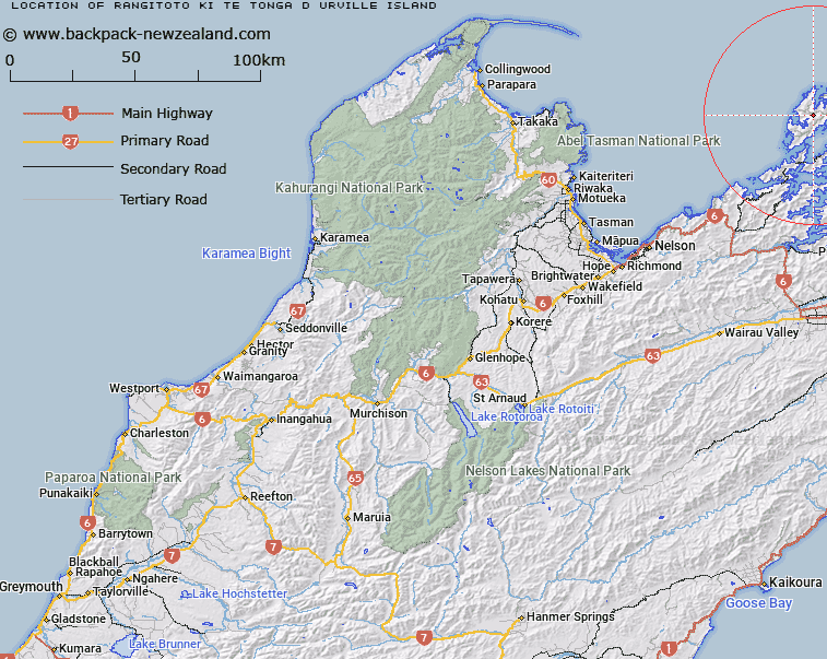
Map showing location of Rangitoto ki te Tonga/D'Urville Island


LINZ description: Major island at the northern extremity of Marlborough Sounds. Original Māori name for D'Urville Island.
Latitude: -40.826033
Longitude: 173.858606
Northing: 5480200
Easting: 1672400
Land District: Nelson
Feat Type: Island


Scroll down to see a more detailed road map and below that a topographical map showing the location of Rangitoto ki te Tonga/D'Urville Island. The road map has been supplied by openstreetmap and the topographical map of Rangitoto ki te Tonga/D'Urville Island has been supplied by Land Information New Zealand (LINZ).

Yes you can use the top static map for you school/university project or personal website with a link back. Contact me for any commercial use.

Rangitoto ki te Tonga/D'Urville Island Map New Zealand


New Zealand places in our database
[ A ] [ B ] [ C ] [ D ] [ E ] [ F ] [ G ] [ H ] [ I ] [ J ] [ K ] [ L ] [ M ] [ N ] [ O ] [ P ] [ Q ] [ R ] [ S ] [ T ] [ U ] [ V ] [ W ] [ X ] [ Y ] [ Z ]


Closest 20 Islands to Rangitoto ki te Tonga/D'Urville Island

Penguin Island ( 5.22km )   May Island ( 5.71km )   Puotewheke (Scuffle Island) ( 5.89km )   Tu Araiawa Island (Fin Island) ( 6.51km )   Stewart Island (Tekuru Kuru) ( 7.66km )   Anatakupu Island ( 7.88km )   Rabbit Island ( 7.88km )   Squadron Rocks ( 8.24km )   Te Horo Island ( 9.81km )   Rahuinui ( 9.96km )   Fleet Rocks ( 10.32km )   Taungahaika Islands ( 10.47km )   Taunahaika Islands ( 10.47km )   Seagull Island ( 10.61km )   T?nui Island ( 10.76km )   H?puka Island ( 10.78km )   Victory Island (Moutiti) ( 11.06km )   Nelsons Monument (Kaitaore) ( 11.23km )   Trio Islands (Kuru Pongi) ( 11.72km )   P?angiangi Island ( 12.06km )   Cone Island ( 12.96km )   Rangitoto Islands ( 13.05km )   Wakaterepapanui Island ( 14km )   Hautai Island ( 14.65km )   Le Brun Peninsula ( 15.08km )   Le Brun Island ( 15.08km )   Karaka (Hamilton Island) ( 15.5km )   White Horse Rock ( 17.68km )   Oke Rock ( 18km )   Saddle Rocks ( 18.73km )   Ninepin Rock ( 19.18km )   Clara Island ( 19.57km )   Nukuwaiata Island ( 19.92km )   Stephens Island (Takapourewa) ( 20.86km )   Chetwode Islands ( 20.9km )   The Haystack (Moturaka) ( 21.57km )   Te Kakaho Island ( 21.68km )   Te Hoiere ( 22.14km )   Maud Island ( 22.14km )   Forsyth Island (Te Paruparu) ( 23.44km )