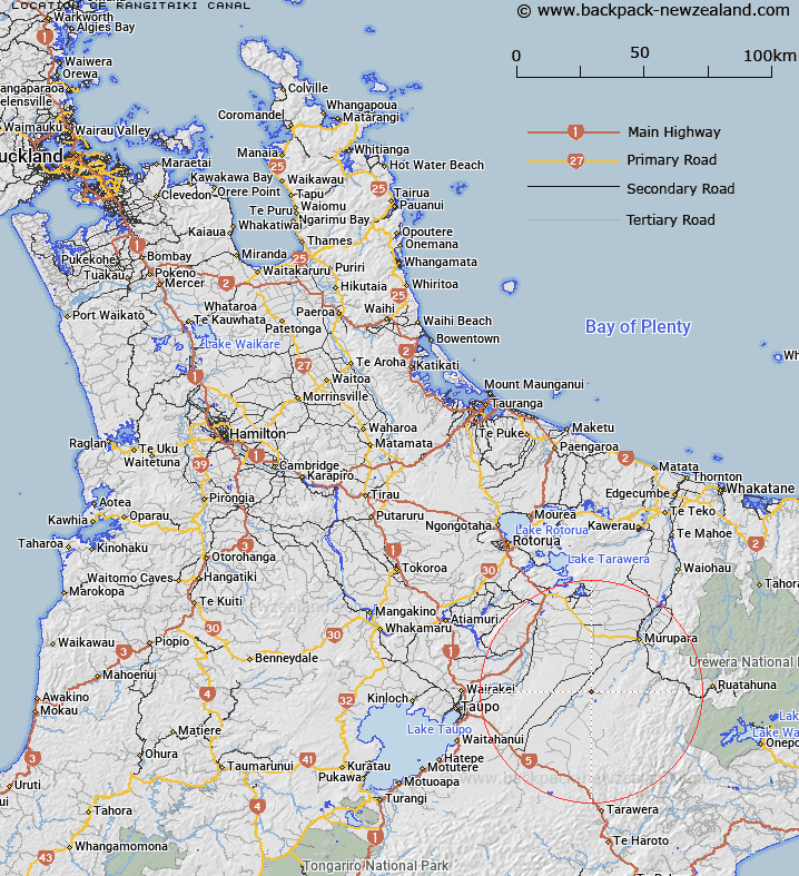
Map showing location of Rangitaiki Canal
LINZ description: Canal flowing from Rangitaiki River to Wheao River
Latitude: -38.630927
Longitude: 176.540496
Northing: 5718229.4
Easting: 1908207.8
Land District: South Auckland
Feat Type: Canal
Latitude: -38.630927
Longitude: 176.540496
Northing: 5718229.4
Easting: 1908207.8
Land District: South Auckland
Feat Type: Canal

Scroll down to see a more detailed road map and below that a topographical map showing the location of Rangitaiki Canal. The road map has been supplied by openstreetmap and the topographical map of Rangitaiki Canal has been supplied by Land Information New Zealand (LINZ).
Yes you can use the top static map for you school/university project or personal website with a link back. Contact me for any commercial use.
[ A ] [ B ] [ C ] [ D ] [ E ] [ F ] [ G ] [ H ] [ I ] [ J ] [ K ] [ L ] [ M ] [ N ] [ O ] [ P ] [ Q ] [ R ] [ S ] [ T ] [ U ] [ V ] [ W ] [ X ] [ Y ] [ Z ]