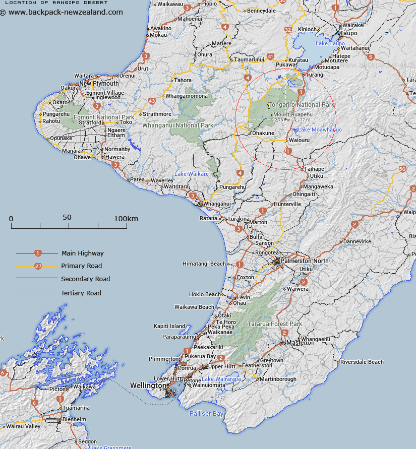
Map showing location of Rangipo Desert
LINZ description: A barren, sandy, sparsely vegetated ‘desert’ within the central volcanic plateau, between Mount Ruapehu and State Highway 1 (the Desert Road). Most of the feature is within the New Zealand Defence Force’s training area, with the northern part within Tongariro National Park. Feature shown on: NZMS260 T20 Edition 1994; NZTopo50-BJ35 306452
Latitude: -39.31168
Longitude: 175.67456
Northing: 5645224
Easting: 1830592
Land District: Wellington
Feat Type: Desert
Latitude: -39.31168
Longitude: 175.67456
Northing: 5645224
Easting: 1830592
Land District: Wellington
Feat Type: Desert

Scroll down to see a more detailed road map and below that a topographical map showing the location of Rangipo Desert. The road map has been supplied by openstreetmap and the topographical map of Rangipo Desert has been supplied by Land Information New Zealand (LINZ).
Yes you can use the top static map for you school/university project or personal website with a link back. Contact me for any commercial use.
[ A ] [ B ] [ C ] [ D ] [ E ] [ F ] [ G ] [ H ] [ I ] [ J ] [ K ] [ L ] [ M ] [ N ] [ O ] [ P ] [ Q ] [ R ] [ S ] [ T ] [ U ] [ V ] [ W ] [ X ] [ Y ] [ Z ]