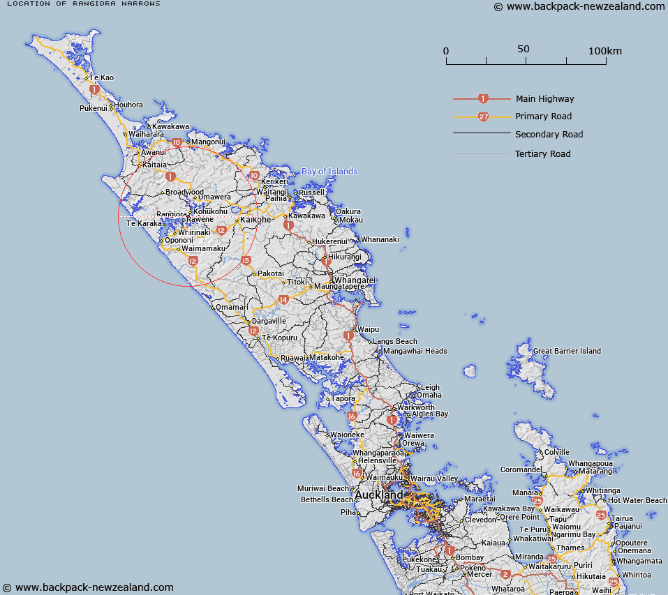
Map showing location of Rangiora Narrows


LINZ description: An estuarine straight at the inner reaches of Hokianga Harbour; where it narrows before the confluence of Waihou, Orira and Mangamuka Rivers. Feature shown on: NZMS260 O05 Edition 1 1984; NZTopo50-AW27 484843.
Latitude: -35.383889
Longitude: 173.533278
Northing: 6084253.2
Easting: 1648434.3
Land District: North Auckland
Feat Type: Channel


Scroll down to see a more detailed road map and below that a topographical map showing the location of Rangiora Narrows. The road map has been supplied by openstreetmap and the topographical map of Rangiora Narrows has been supplied by Land Information New Zealand (LINZ).

Yes you can use the top static map for you school/university project or personal website with a link back. Contact me for any commercial use.

Rangiora Narrows Map New Zealand


New Zealand places in our database
[ A ] [ B ] [ C ] [ D ] [ E ] [ F ] [ G ] [ H ] [ I ] [ J ] [ K ] [ L ] [ M ] [ N ] [ O ] [ P ] [ Q ] [ R ] [ S ] [ T ] [ U ] [ V ] [ W ] [ X ] [ Y ] [ Z ]


Closest 20 Channels to Rangiora Narrows

The Narrows ( 0km )   Rangiora Narrows ( 0km )   Te Wahiawa Passage ( 45.09km )   Pickmere Channel ( 46.21km )   Te Putaaraukai Channel ( 49.03km )   Kent Passage ( 52.6km )   Veronica Channel ( 53.08km )   Cavalli Passage ( 54.31km )   Okahu Passage ( 64.88km )   Waewaetorea Passage ( 65.46km )   Albert Channel ( 66.72km )   Orehauwai Channel ( 100.76km )   Parry Channel ( 114.39km )   The Funnel ( 117.68km )   Otamatea Channel ( 123.57km )   Kaipara Entrance ( 128.2km )   Tauhoa Channel ( 132.14km )   Jellicoe Channel ( 146.91km )   Edith Passage ( 153.6km )   North Channel ( 161.89km )   Inner Channel ( 165.19km )   Rosario Channel ( 165.83km )   South Channel ( 166.46km )   Blanche Channel ( 166.51km )   Cradock Channel ( 176.5km )   Whangaparaoa Passage ( 181.35km )   Man of War Passage (Governor Pass) ( 183.66km )   The Gap ( 194.08km )   Rangitoto Channel ( 195.57km )   Rakino Channel ( 195.96km )   Motukorea Channel ( 200.4km )   Motuihe Channel ( 200.87km )   Wairopa Channel ( 203.57km )   Colville Channel ( 203.75km )   Sergeant Channel ( 204.35km )   Manukau Entrance ( 204.95km )   Purakau Channel ( 205.93km )   Tamaki Strait ( 207.97km )   Waiuku Channel ( 211.37km )   Waiheke Channel ( 218.49km )