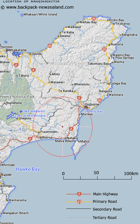
Map showing location of Rangikaikitia
LINZ description: Nuhaka North Survey District. Feature shown as a boundary point on Gisbourne ML 639 (1889) for the sale of Mangapoike Block, and ML 873 (1889). NZTopo50-BH42 081834
Latitude: -38.903758
Longitude: 177.70588
Northing: 5683364.1
Easting: 2008139.5
Land District: Gisborne
Feat Type: Locality
Latitude: -38.903758
Longitude: 177.70588
Northing: 5683364.1
Easting: 2008139.5
Land District: Gisborne
Feat Type: Locality

Scroll down to see a more detailed road map and below that a topographical map showing the location of Rangikaikitia. The road map has been supplied by openstreetmap and the topographical map of Rangikaikitia has been supplied by Land Information New Zealand (LINZ).
Yes you can use the top static map for you school/university project or personal website with a link back. Contact me for any commercial use.
[ A ] [ B ] [ C ] [ D ] [ E ] [ F ] [ G ] [ H ] [ I ] [ J ] [ K ] [ L ] [ M ] [ N ] [ O ] [ P ] [ Q ] [ R ] [ S ] [ T ] [ U ] [ V ] [ W ] [ X ] [ Y ] [ Z ]