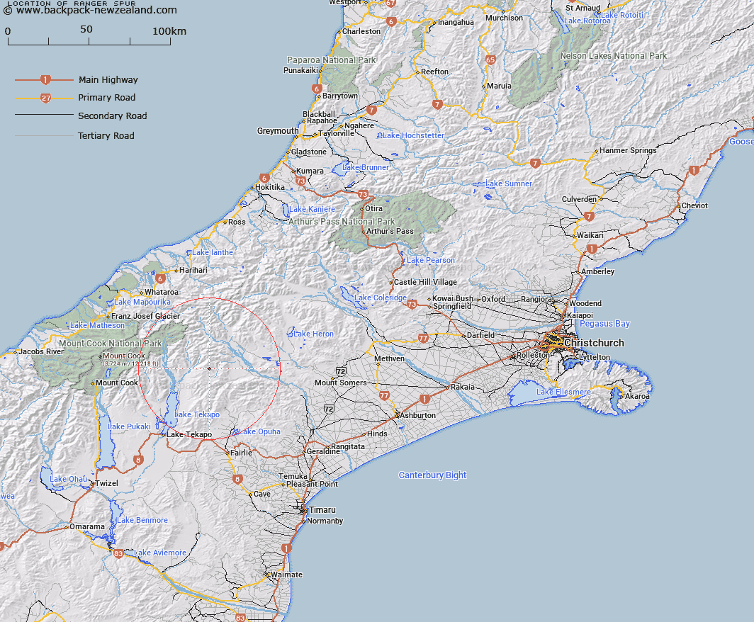
Map showing location of Ranger Spur
LINZ description: Spur running South-east from South of Captains Peak in the Two Thumb Range to Bush Stream, 4km West of Trig. K (Geodetic Code ANB3), South of Sweeps Stream. Block XII Sinclair Survey District.
Latitude: -43.659446
Longitude: 170.733483
Northing: 5163454.5
Easting: 1417245.6
Land District: Canterbury
Feat Type: Ridge
Latitude: -43.659446
Longitude: 170.733483
Northing: 5163454.5
Easting: 1417245.6
Land District: Canterbury
Feat Type: Ridge

Scroll down to see a more detailed road map and below that a topographical map showing the location of Ranger Spur. The road map has been supplied by openstreetmap and the topographical map of Ranger Spur has been supplied by Land Information New Zealand (LINZ).
Yes you can use the top static map for you school/university project or personal website with a link back. Contact me for any commercial use.
[ A ] [ B ] [ C ] [ D ] [ E ] [ F ] [ G ] [ H ] [ I ] [ J ] [ K ] [ L ] [ M ] [ N ] [ O ] [ P ] [ Q ] [ R ] [ S ] [ T ] [ U ] [ V ] [ W ] [ X ] [ Y ] [ Z ]