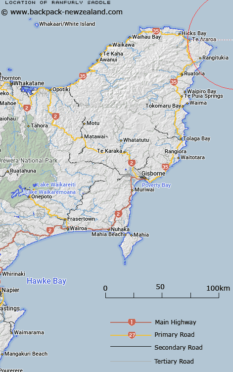
Map showing location of Ranfurly Saddle
LINZ description: A saddle trending in a northeasterly direction on the inner continental shelf, east of East Cape. Depicted on East Cape Chart©, Blackmore, 1996.
Latitude: -37.6347
Longitude: 178.7408
Northing: 5819183.5
Easting: 2106733.6
Land District: Gisborne
Feat Type: Saddle
Latitude: -37.6347
Longitude: 178.7408
Northing: 5819183.5
Easting: 2106733.6
Land District: Gisborne
Feat Type: Saddle

Scroll down to see a more detailed road map and below that a topographical map showing the location of Ranfurly Saddle. The road map has been supplied by openstreetmap and the topographical map of Ranfurly Saddle has been supplied by Land Information New Zealand (LINZ).
Yes you can use the top static map for you school/university project or personal website with a link back. Contact me for any commercial use.
[ A ] [ B ] [ C ] [ D ] [ E ] [ F ] [ G ] [ H ] [ I ] [ J ] [ K ] [ L ] [ M ] [ N ] [ O ] [ P ] [ Q ] [ R ] [ S ] [ T ] [ U ] [ V ] [ W ] [ X ] [ Y ] [ Z ]