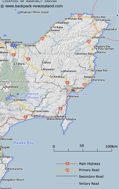
Map showing location of Ranfurly Canyon
LINZ description: East Cape, North Island A N-S aligned break in the outer continental slope NE of East Cape, on the northern side of Ranfurly Saddle. Has a maximum depth of 600m.
Latitude: -37.566667
Longitude: 178.683333
Northing: 5827051
Easting: 2102115.8
Land District: Gisborne
Feat Type: Canyon
Latitude: -37.566667
Longitude: 178.683333
Northing: 5827051
Easting: 2102115.8
Land District: Gisborne
Feat Type: Canyon

Scroll down to see a more detailed road map and below that a topographical map showing the location of Ranfurly Canyon. The road map has been supplied by openstreetmap and the topographical map of Ranfurly Canyon has been supplied by Land Information New Zealand (LINZ).
Yes you can use the top static map for you school/university project or personal website with a link back. Contact me for any commercial use.
[ A ] [ B ] [ C ] [ D ] [ E ] [ F ] [ G ] [ H ] [ I ] [ J ] [ K ] [ L ] [ M ] [ N ] [ O ] [ P ] [ Q ] [ R ] [ S ] [ T ] [ U ] [ V ] [ W ] [ X ] [ Y ] [ Z ]