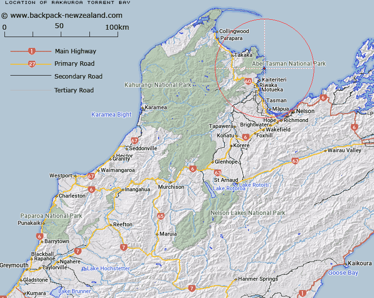
Map showing location of Rākauroa / Torrent Bay
LINZ description: A bay approximately 10 km northeast of Kaiteriteri. The Anchorage is within the bay. Feature shown on: NZMS260 N26 Edition 1 1986; NZTopo50-BP25 048669.
Latitude: -40.947194
Longitude: 173.053056
Northing: 5467103.5
Easting: 1604465.6
Land District: Nelson
Feat Type: Bay
Latitude: -40.947194
Longitude: 173.053056
Northing: 5467103.5
Easting: 1604465.6
Land District: Nelson
Feat Type: Bay

Scroll down to see a more detailed road map and below that a topographical map showing the location of Rākauroa / Torrent Bay. The road map has been supplied by openstreetmap and the topographical map of Rākauroa / Torrent Bay has been supplied by Land Information New Zealand (LINZ).
Yes you can use the top static map for you school/university project or personal website with a link back. Contact me for any commercial use.
[ A ] [ B ] [ C ] [ D ] [ E ] [ F ] [ G ] [ H ] [ I ] [ J ] [ K ] [ L ] [ M ] [ N ] [ O ] [ P ] [ Q ] [ R ] [ S ] [ T ] [ U ] [ V ] [ W ] [ X ] [ Y ] [ Z ]