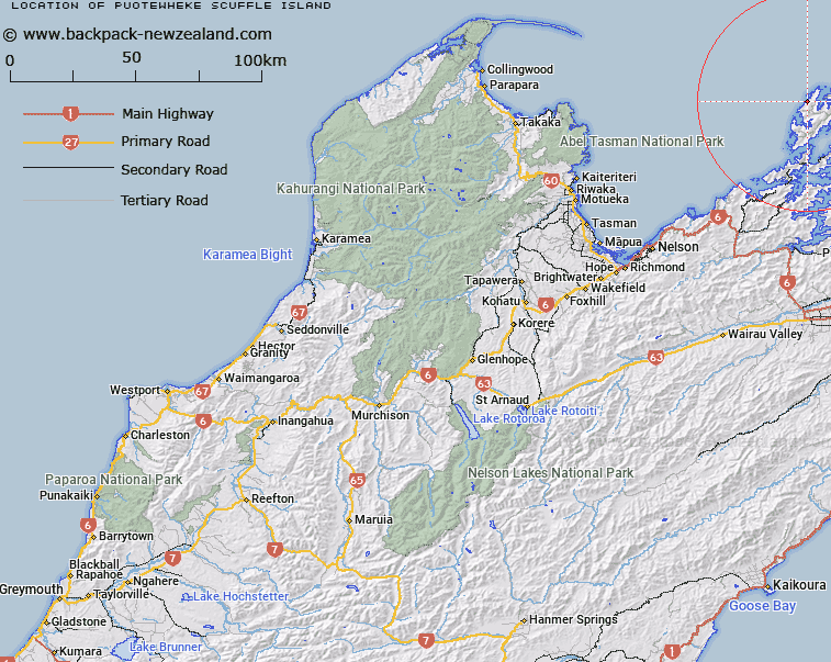
Map showing location of Puotewheke (Scuffle Island)


LINZ description: An off-shore island on the western side of D'Urville Island in between Punaatawake Bay and Black Reef Bay.
Latitude: -40.780606
Longitude: 173.822521
Northing: 5485271.8
Easting: 1669404.5
Land District: Nelson
Feat Type: Island


Scroll down to see a more detailed road map and below that a topographical map showing the location of Puotewheke (Scuffle Island). The road map has been supplied by openstreetmap and the topographical map of Puotewheke (Scuffle Island) has been supplied by Land Information New Zealand (LINZ).

Yes you can use the top static map for you school/university project or personal website with a link back. Contact me for any commercial use.

Puotewheke (Scuffle Island) Map New Zealand


New Zealand places in our database
[ A ] [ B ] [ C ] [ D ] [ E ] [ F ] [ G ] [ H ] [ I ] [ J ] [ K ] [ L ] [ M ] [ N ] [ O ] [ P ] [ Q ] [ R ] [ S ] [ T ] [ U ] [ V ] [ W ] [ X ] [ Y ] [ Z ]


Closest 20 Islands to Puotewheke (Scuffle Island)

May Island ( 5.46km )   Rangitoto ki te Tonga (D'Urville Island) ( 5.89km )   Rangitoto ke te Tonga (D'Urville Island) ( 5.89km )   Rangitoto ki te Tonga/D'Urville Island ( 5.89km )   Tu Araiawa Island (Fin Island) ( 6.24km )   Squadron Rocks ( 6.53km )   Nelsons Monument (Kaitaore) ( 8.36km )   Fleet Rocks ( 8.7km )   Victory Island (Moutiti) ( 9.16km )   Seagull Island ( 9.46km )   Penguin Island ( 10.5km )   Rahuinui ( 12.19km )   T?nui Island ( 12.27km )   Te Horo Island ( 13.05km )   Taunahaika Islands ( 13.12km )   Taungahaika Islands ( 13.12km )   P?angiangi Island ( 13.4km )   Anatakupu Island ( 13.47km )   Rabbit Island ( 13.47km )   Stewart Island (Tekuru Kuru) ( 13.54km )   H?puka Island ( 13.65km )   Rangitoto Islands ( 14.06km )   Wakaterepapanui Island ( 14.76km )   Trio Islands (Kuru Pongi) ( 16.15km )   Cone Island ( 16.47km )   Saddle Rocks ( 16.76km )   Hautai Island ( 18.52km )   Le Brun Island ( 18.93km )   Le Brun Peninsula ( 18.93km )   Stephens Island (Takapourewa) ( 19.15km )   Karaka (Hamilton Island) ( 20.93km )   White Horse Rock ( 23.56km )   Oke Rock ( 23.6km )   Ninepin Rock ( 24.54km )   Nukuwaiata Island ( 25km )   Clara Island ( 25.13km )   Chetwode Islands ( 25.77km )   Te Kakaho Island ( 26.41km )   The Haystack (Moturaka) ( 26.65km )   Maud Island ( 27.61km )