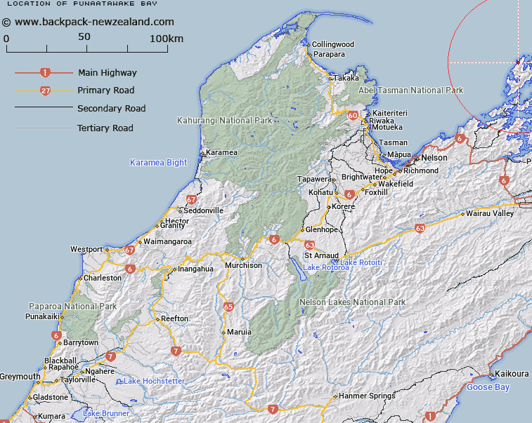
Map showing location of Punaatawake Bay


LINZ description: At east coast of D'Urville Island, 4km north of Greville Harbour. Feature shown on: NZMS260 O26 P25 Pt P26 Edition 1 1980
Latitude: -40.769052
Longitude: 173.830927
Northing: 5486547.7
Easting: 1670126
Land District: Nelson
Feat Type: Bay


Scroll down to see a more detailed road map and below that a topographical map showing the location of Punaatawake Bay. The road map has been supplied by openstreetmap and the topographical map of Punaatawake Bay has been supplied by Land Information New Zealand (LINZ).

Yes you can use the top static map for you school/university project or personal website with a link back. Contact me for any commercial use.

Punaatawake Bay Map New Zealand


New Zealand places in our database
[ A ] [ B ] [ C ] [ D ] [ E ] [ F ] [ G ] [ H ] [ I ] [ J ] [ K ] [ L ] [ M ] [ N ] [ O ] [ P ] [ Q ] [ R ] [ S ] [ T ] [ U ] [ V ] [ W ] [ X ] [ Y ] [ Z ]


Closest 20 Bays to Punaatawake Bay

Punaatawake Bay ( 0km )   Punaatawheke Bay ( 0km )   Ot? Bay ( 1.15km )   Moki Bay ( 2.7km )   Allman Bay ( 3.69km )   Port Hardy ( 4.1km )   Black Reef Bay ( 4.33km )   Rene Cove ( 4.45km )   South Arm ( 4.57km )   Smokehouse Bay ( 5.05km )   Lookout Bay ( 5.09km )   Waiua Bay ( 5.48km )   Wells Arm ( 6.58km )   East Arm ( 6.79km )   Wells Bay ( 7km )   Greville Harbour / Wharariki ( 7.52km )   Greville Harbour ( 7.52km )   Deserter Bay ( 7.94km )   Skull Bay ( 8.05km )   Camp Bay ( 8.35km )   Mill Arm ( 8.79km )   Paddy Bay ( 9.03km )   Swamp Bay ( 9.25km )   Waitai Bay ( 9.48km )   Massacre Bay ( 9.86km )   Camping Bay ( 10.02km )   Mokau Bay ( 10.06km )   Low Neck Bay ( 10.23km )   Low Neck Bay ( 10.25km )   Pireka (Low Neck Bay) ( 10.25km )   Whare?tea Bay ( 10.27km )   Whareata Bay ( 10.27km )   Owhai Bay ( 10.27km )   Bullock Bay ( 10.31km )   Whare-ririki Bay ( 10.48km )   Wharairiki Bay ( 10.56km )   Whare-ririki Bay ( 10.56km )   Smylies Arm ( 10.64km )   Punt Arm ( 10.69km )   Horea Bay ( 10.85km )