Map showing location of Pukipuki Road


LINZ description: Te Kauwau Survey District.
Latitude: -40.34951
Longitude: 175.302491
Northing: 5530904.8
Easting: 1795542.9
Land District: Wellington
Feat Type: Road


Scroll down to see a more detailed road map and below that a topographical map showing the location of Pukipuki Road. The road map has been supplied by openstreetmap and the topographical map of Pukipuki Road has been supplied by Land Information New Zealand (LINZ).

Yes you can use the top static map for you school/university project or personal website with a link back. Contact me for any commercial use.
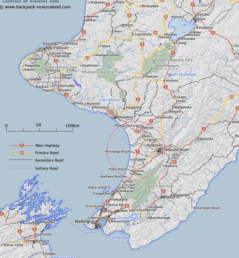
Pukipuki Road Map New Zealand


New Zealand places in our database
[ A ] [ B ] [ C ] [ D ] [ E ] [ F ] [ G ] [ H ] [ I ] [ J ] [ K ] [ L ] [ M ] [ N ] [ O ] [ P ] [ Q ] [ R ] [ S ] [ T ] [ U ] [ V ] [ W ] [ X ] [ Y ] [ Z ]


Closest 20 Roads to Pukipuki Road

Pukipuki Road ( 0km )   Pukepuke Road ( 0km )   Ekatahuna Road ( 17.81km )   Tiakitahuna Road ( 17.81km )   Mangatakoto Road ( 41.17km )   Mangatakato Road ( 41.17km )   Rangituma Road ( 66.12km )   Rangitumau Road ( 66.12km )   Mangareia Road ( 66.26km )   Mangarai Road ( 66.26km )   Mangotawake Road ( 70.66km )   Mangaotawake Road ( 70.66km )   Wangaehu Road ( 79.4km )   Whangaehu Road ( 79.4km )   Tauweru Road ( 82.11km )   Tauwharenikau Road ( 85.56km )   Tauherenikau Road ( 85.56km )   Weraroa Road ( 86.03km )   Wereroa Road ( 86.03km )   Aohanga Road ( 94.17km )   Owahanga Road ( 94.17km )   Takapu Road ( 96.69km )   Kahautara Road ( 97.44km )   Kahutara Road ( 97.44km )   Ohariu Road ( 104.53km )   Cockayne Road ( 109.42km )   Tinakore Road ( 112km )   Tinakori Road ( 112km )   Onaero Road ( 169.96km )   Onaeroa Road ( 169.96km )   Okurakura Road ( 171.91km )   Ohurakura Road ( 171.91km )   Weld-Dashwood Pass Road ( 174.07km )   Tupari Road ( 175.14km )   Aropaoanui Road ( 185.5km )   Arapaoanoi Road ( 185.5km )   Anaura Road ( 200.34km )   Anoura Road ( 200.34km )   Piarere Road ( 275.61km )   Waingaro Road ( 299.99km )