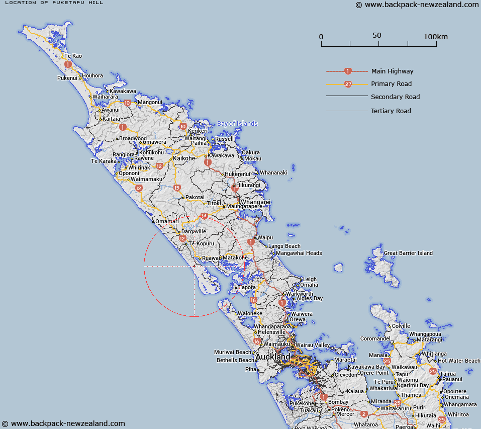
Map showing location of Puketapu Hill
LINZ description: Omapere Survey District Block XII North Auckland Land District.
Latitude: -36.192069
Longitude: 173.983206
Northing: 5994300
Easting: 1688400
Land District: North Auckland
Feat Type: Hill
Latitude: -36.192069
Longitude: 173.983206
Northing: 5994300
Easting: 1688400
Land District: North Auckland
Feat Type: Hill

Scroll down to see a more detailed road map and below that a topographical map showing the location of Puketapu Hill. The road map has been supplied by openstreetmap and the topographical map of Puketapu Hill has been supplied by Land Information New Zealand (LINZ).
Yes you can use the top static map for you school/university project or personal website with a link back. Contact me for any commercial use.
[ A ] [ B ] [ C ] [ D ] [ E ] [ F ] [ G ] [ H ] [ I ] [ J ] [ K ] [ L ] [ M ] [ N ] [ O ] [ P ] [ Q ] [ R ] [ S ] [ T ] [ U ] [ V ] [ W ] [ X ] [ Y ] [ Z ]