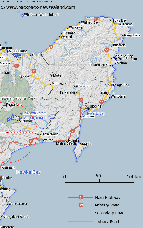
Map showing location of Pukaramea


LINZ description: 3km south of Waiau River in Putere Scenic Reserve.
Latitude: -38.945627
Longitude: 176.985104
Northing: 5681700
Easting: 1945400
Land District: Gisborne
Feat Type: Trig Station


Scroll down to see a more detailed road map and below that a topographical map showing the location of Pukaramea. The road map has been supplied by openstreetmap and the topographical map of Pukaramea has been supplied by Land Information New Zealand (LINZ).

Yes you can use the top static map for you school/university project or personal website with a link back. Contact me for any commercial use.

Pukaramea Map New Zealand


New Zealand places in our database
[ A ] [ B ] [ C ] [ D ] [ E ] [ F ] [ G ] [ H ] [ I ] [ J ] [ K ] [ L ] [ M ] [ N ] [ O ] [ P ] [ Q ] [ R ] [ S ] [ T ] [ U ] [ V ] [ W ] [ X ] [ Y ] [ Z ]


Closest 20 Trig Stations to Pukaramea

Patuwahine ( 12.61km )   Patuwahine ( 18.37km )   Mapouriki ( 31.6km )   Maporiki ( 31.6km )   Tataraakin ( 32.53km )   Tuwatawata ( 33.82km )   Tuawatawata ( 33.82km )   Wakaateo ( 36.94km )   Waka Atea ( 36.94km )   Te Tahi ( 40.26km )   Parahakipaku ( 44.09km )   Te Aitangaamahaki ( 45.75km )   Te Itanga Mahaki ( 45.75km )   Kioronui ( 53.74km )   Kiorenui ( 53.74km )   Kohirikiriki ( 54.97km )   Koherekireki ( 54.97km )   Whakapunake ( 55.21km )   Whakapunaki ( 55.21km )   End ( 56.34km )   Ngapukeriki ( 56.53km )   Ngapuketurua ( 56.53km )   Tawhiuau ( 56.56km )   Tawhiwhau ( 56.56km )   Whakaumuatanetaako ( 59.7km )   Whakaumuataneteko ( 59.7km )   Pukaroronui ( 63.59km )   Moumoukai ( 67.32km )   Kaiarahi ( 67.48km )   Puketautahi ( 67.57km )   Oiraraorao ( 71.74km )   Kuripapango ( 71.82km )   Wharekauanga ( 75.45km )   Wharekaunga ( 75.45km )   Kohinga ( 75.64km )   Rerepi ( 77.07km )   Rarepe ( 77.07km )   Taupiri ( 77.73km )   Puto-oe-a-Patua ( 80.67km )   Putoetoe ( 80.67km )