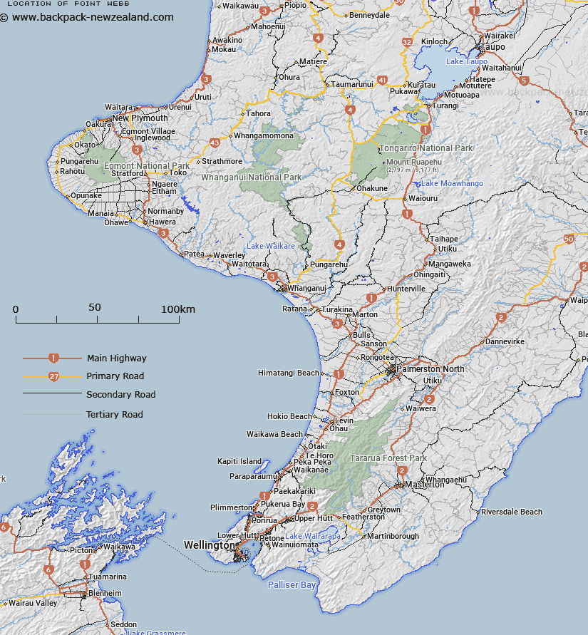
Map showing location of Point Webb


LINZ description: Point 1km northwest of Waitangi on north face of Tikitiki Hill, central Chatham Island
Latitude: -43.942179
Longitude: -176.567261
Northing: 0
Easting: 0
Land District: Wellington
Feat Type: Point


Scroll down to see a more detailed road map and below that a topographical map showing the location of Point Webb. The road map has been supplied by openstreetmap and the topographical map of Point Webb has been supplied by Land Information New Zealand (LINZ).

Yes you can use the top static map for you school/university project or personal website with a link back. Contact me for any commercial use.
Point Webb Map New Zealand


New Zealand places in our database
[ A ] [ B ] [ C ] [ D ] [ E ] [ F ] [ G ] [ H ] [ I ] [ J ] [ K ] [ L ] [ M ] [ N ] [ O ] [ P ] [ Q ] [ R ] [ S ] [ T ] [ U ] [ V ] [ W ] [ X ] [ Y ] [ Z ]


Closest 20 Points to Point Webb

Point Webb ( 0km )   Ellice Point ( 0.32km )   Point Weeding ( 0.43km )   Hanson Point ( 0.69km )   Kahunene Point ( 1.15km )   Red Bluff ( 5.07km )   Te Matarae Point ( 7.97km )   Kaiparakau Point ( 8.32km )   Motuhou Point ( 9.95km )   Point Durham ( 12.04km )   Waikato Point ( 12.62km )   Moutapu Point ( 14.64km )   Point Gap ( 15.99km )   Kahupiri Point ( 16.12km )   Napper Point ( 17km )   Point Dorset ( 17.01km )   Ko Oreao Point ( 17.6km )   Karewa Point ( 17.86km )   Cattle Point ( 17.9km )   Otawae Point ( 19.36km )   Te Whakahewa (The Horns) ( 20.42km )   Mihitoroa Point ( 20.59km )   Green Point ( 20.99km )   Cemetery Point ( 21.06km )   Opuriri ( 21.27km )   Manukau Point ( 21.92km )   Okahu Point ( 25.19km )   Taupeka Point ( 25.27km )   Ocean Mail Point ( 26.36km )   Point Somes ( 27.7km )   Cape Paterson ( 28.89km )   Cape Patterson ( 28.89km )   Cape Pattison ( 28.89km )   Cape Pattisson ( 28.89km )   Te Raki Point ( 29.21km )   Point Alison ( 29.43km )   Okawa Point ( 32.16km )   Point Munning ( 37.62km )   Tarawhenua Point ( 40.43km )   Motutapu Point ( 41.64km )