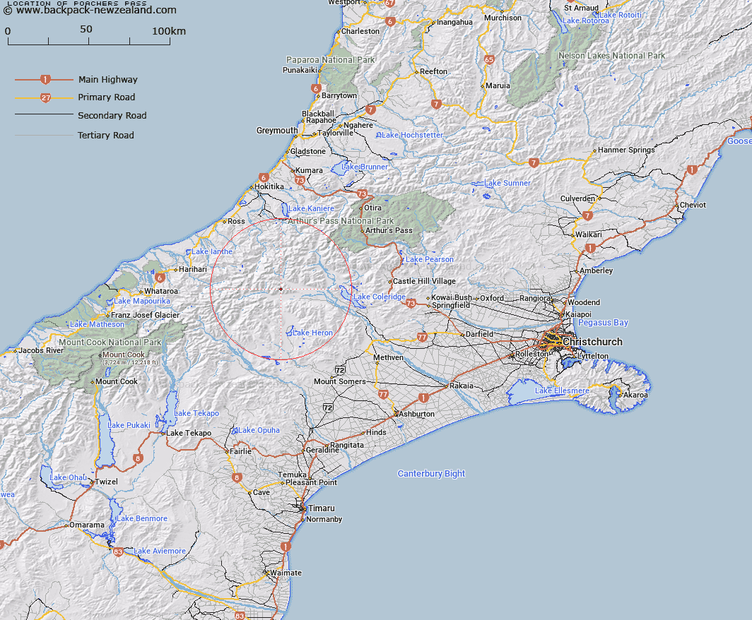
Map showing location of Poachers Pass
LINZ description: Pass in the southern Ragged Rangeat the heads of Jellicoe Stream and Rocky Spur Creek on the South side, and a tributary of Hut Stream on the North side. 3km East North-east of Totara Peak [Trig. R (Geodetic Code AA5Q)]. Block III Whitcombe Survey District.
Latitude: -43.247949
Longitude: 171.12625
Northing: 5209945.8
Easting: 1447887.6
Land District: Canterbury
Feat Type: Pass
Latitude: -43.247949
Longitude: 171.12625
Northing: 5209945.8
Easting: 1447887.6
Land District: Canterbury
Feat Type: Pass

Scroll down to see a more detailed road map and below that a topographical map showing the location of Poachers Pass. The road map has been supplied by openstreetmap and the topographical map of Poachers Pass has been supplied by Land Information New Zealand (LINZ).
Yes you can use the top static map for you school/university project or personal website with a link back. Contact me for any commercial use.
[ A ] [ B ] [ C ] [ D ] [ E ] [ F ] [ G ] [ H ] [ I ] [ J ] [ K ] [ L ] [ M ] [ N ] [ O ] [ P ] [ Q ] [ R ] [ S ] [ T ] [ U ] [ V ] [ W ] [ X ] [ Y ] [ Z ]