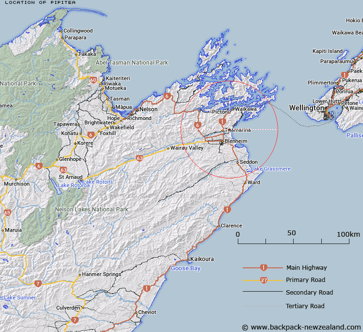
Map showing location of Pipitea
LINZ description: Locality 10km north-east of Blenheim, generally bounded west by Neal Road, north by Rarangi Road, east by the coastline, and south by the Wairau Diversion.
Latitude: -41.421332
Longitude: 174.012987
Northing: 5413974.2
Easting: 1684649.5
Land District: Marlborough
Feat Type: Locality
Latitude: -41.421332
Longitude: 174.012987
Northing: 5413974.2
Easting: 1684649.5
Land District: Marlborough
Feat Type: Locality

Scroll down to see a more detailed road map and below that a topographical map showing the location of Pipitea. The road map has been supplied by openstreetmap and the topographical map of Pipitea has been supplied by Land Information New Zealand (LINZ).
Yes you can use the top static map for you school/university project or personal website with a link back. Contact me for any commercial use.
[ A ] [ B ] [ C ] [ D ] [ E ] [ F ] [ G ] [ H ] [ I ] [ J ] [ K ] [ L ] [ M ] [ N ] [ O ] [ P ] [ Q ] [ R ] [ S ] [ T ] [ U ] [ V ] [ W ] [ X ] [ Y ] [ Z ]