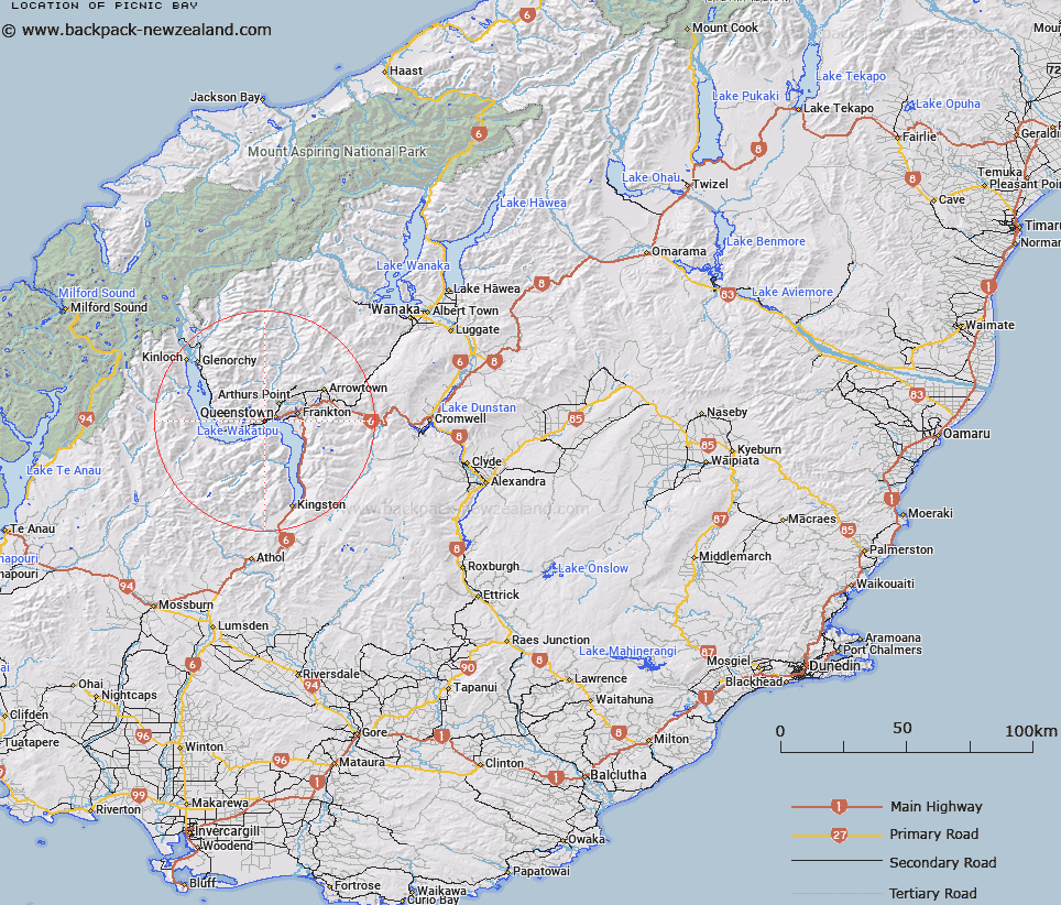
Map showing location of Picnic Bay


LINZ description: Bay on the eastern shoreline of Lake Wakatipu, approximately 3.75km south-west of Queenstown. Block I Wakatipu Survey District.
Latitude: -45.048506
Longitude: 168.623261
Northing: 5002335.7
Easting: 1255337.5
Land District: Otago
Feat Type: Bay


Scroll down to see a more detailed road map and below that a topographical map showing the location of Picnic Bay. The road map has been supplied by openstreetmap and the topographical map of Picnic Bay has been supplied by Land Information New Zealand (LINZ).

Yes you can use the top static map for you school/university project or personal website with a link back. Contact me for any commercial use.

Picnic Bay Map New Zealand


New Zealand places in our database
[ A ] [ B ] [ C ] [ D ] [ E ] [ F ] [ G ] [ H ] [ I ] [ J ] [ K ] [ L ] [ M ] [ N ] [ O ] [ P ] [ Q ] [ R ] [ S ] [ T ] [ U ] [ V ] [ W ] [ X ] [ Y ] [ Z ]


Closest 20 Bays to Picnic Bay

Queenstown Bay ( 2.45km )   Wilson Bay ( 5.3km )   Frankton Arm ( 6.49km )   Table Bay ( 6.61km )   Beach Bay ( 8.9km )   Collins Bay ( 9.3km )   Fortune or Bobs Cove ( 9.67km )   Drift Bay ( 12.94km )   Meiklejohns Bay ( 15.4km )   Whites Bay ( 15.74km )   Halfway Bay ( 17.36km )   Elfin Bay ( 23.11km )   Southwest Bay ( 23.45km )   Blanket Bay ( 27.56km )   Parkins Bay ( 52.02km )   Glendhu Bay ( 52.43km )   Paddock Bay ( 54.17km )   Roys Bay ( 55.82km )   Damper Bay ( 55.86km )   Bishops Bay ( 56.02km )   Happy Cove ( 56.74km )   Bremner Bay ( 57.04km )   Safe Cove ( 59.65km )   Camp Bay ( 60.01km )   Katherine Bay ( 61.35km )   Dublin Bay ( 61.38km )   Hals Bay ( 61.47km )   Franks Bay ( 61.6km )   Worsley Arm ( 61.73km )   Stevensons Arm ( 64.77km )   Boat Harbour ( 65.17km )   Pleasant Bay ( 67km )   Deepwater Basin ( 69.13km )   Freshwater Basin ( 69.73km )   North Fiord ( 71.43km )   Milford Sound/Piopiotahi ( 73.01km )   Milford Sound ( 73.01km )   Harrison Cove ( 73.24km )   Middle Fiord ( 75.88km )   Patience Bay ( 78.57km )