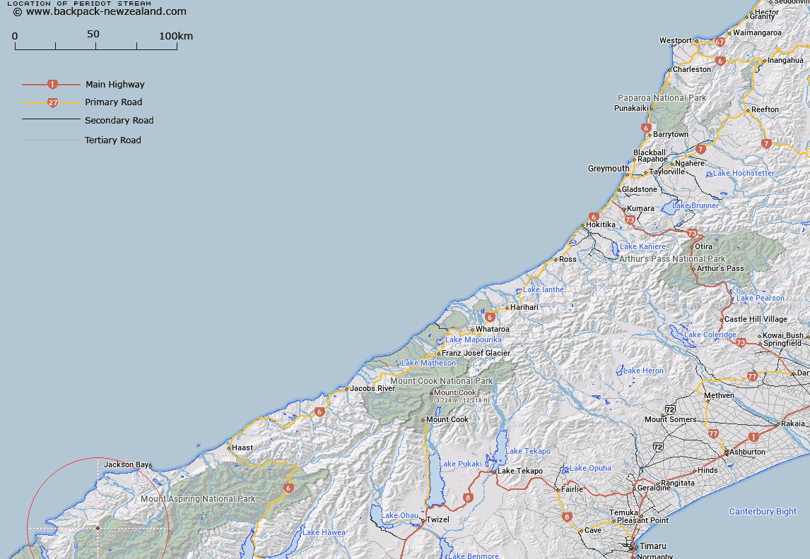
Map showing location of Peridot Stream


LINZ description: The major tributary of Red Pyke River, rising under Red Hills Range
Latitude: -44.299933
Longitude: 168.330403
Northing: 5084200
Easting: 1227500
Land District: Westland
Feat Type: Stream


Scroll down to see a more detailed road map and below that a topographical map showing the location of Peridot Stream. The road map has been supplied by openstreetmap and the topographical map of Peridot Stream has been supplied by Land Information New Zealand (LINZ).

Yes you can use the top static map for you school/university project or personal website with a link back. Contact me for any commercial use.

Peridot Stream Map New Zealand


New Zealand places in our database
[ A ] [ B ] [ C ] [ D ] [ E ] [ F ] [ G ] [ H ] [ I ] [ J ] [ K ] [ L ] [ M ] [ N ] [ O ] [ P ] [ Q ] [ R ] [ S ] [ T ] [ U ] [ V ] [ W ] [ X ] [ Y ] [ Z ]


Closest 20 Streams to Peridot Stream

Red Pyke River ( 1.29km )   Barrington Creek ( 3.09km )   Simonin Stream ( 4.84km )   Chrome Creek ( 5.17km )   Granite Creek ( 5.21km )   Durwards Creek ( 5.38km )   Limbo Stream ( 6.38km )   Saddle Creek ( 6.57km )   Rata Creek ( 6.63km )   Kawhaka Creek ( 6.64km )   Low Creek ( 6.67km )   Kea Creek ( 6.91km )   Captains Creek ( 6.95km )   Steep Creek ( 6.95km )   Malcolm Creek ( 6.98km )   McKenzie Creek ( 7.04km )   Sealy Stream ( 7.25km )   Holland Creek ( 7.25km )   Trinity Stream ( 7.45km )   Retreat Creek ( 7.53km )   Arcade Creek ( 7.57km )   Peanut Stream ( 7.85km )   Paulin Creek ( 7.97km )   Crescent Creek ( 8.6km )   Duncan River ( 8.8km )   Southern Cross Creek ( 9.59km )   Red Stream ( 9.8km )   Falls Creek ( 10.13km )   Plateau Creek ( 10.13km )   Larnachs Creek ( 10.18km )   Rocky Creek ( 10.51km )   Dry Awarua River ( 10.54km )   Murray Creek ( 10.61km )   Saddle Stream ( 10.67km )   Gorge Creek ( 10.79km )   Barrier River North Branch ( 11.2km )   Jerry River ( 11.41km )   Halfway Creek ( 11.54km )   Silver Stream ( 11.86km )   Ridge Creek ( 11.96km )