Map showing location of Pepe Stream


LINZ description: Feature shown on: NZMS260 T11 Pt S11 Edition 2 1993 Reprinted 1994
Latitude: -37.004972
Longitude: 175.815389
Northing: 5900869.8
Easting: 1850513.9
Land District: South Auckland
Feat Type: Stream
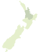

Scroll down to see a more detailed road map and below that a topographical map showing the location of Pepe Stream. The road map has been supplied by openstreetmap and the topographical map of Pepe Stream has been supplied by Land Information New Zealand (LINZ).

Yes you can use the top static map for you school/university project or personal website with a link back. Contact me for any commercial use.
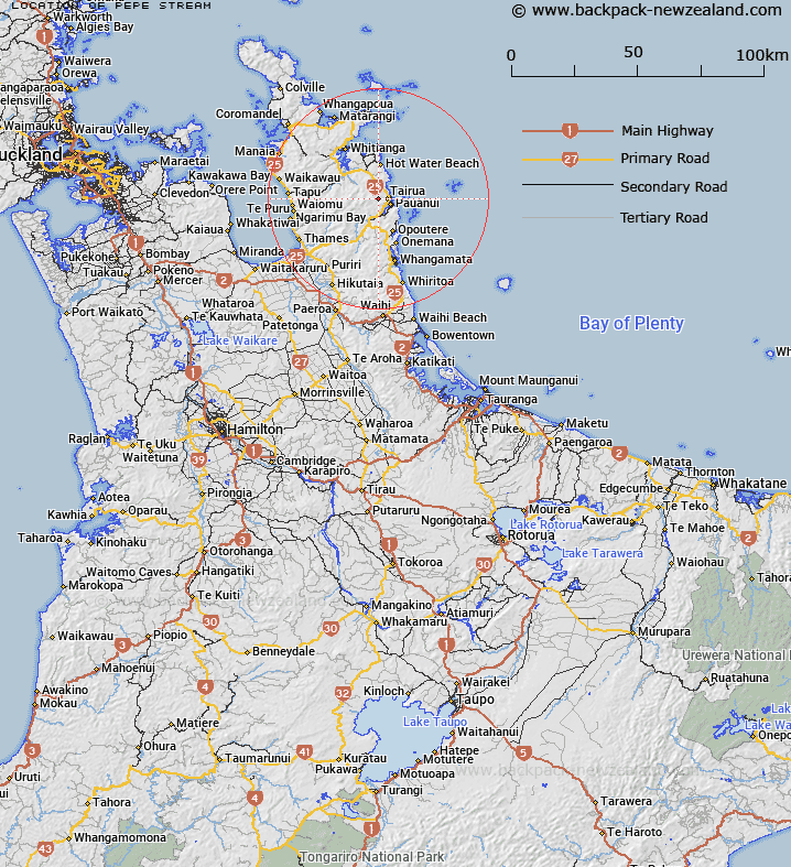
Pepe Stream Map New Zealand


New Zealand places in our database
[ A ] [ B ] [ C ] [ D ] [ E ] [ F ] [ G ] [ H ] [ I ] [ J ] [ K ] [ L ] [ M ] [ N ] [ O ] [ P ] [ Q ] [ R ] [ S ] [ T ] [ U ] [ V ] [ W ] [ X ] [ Y ] [ Z ]


Closest 20 Streams to Pepe Stream

Oturu Stream ( 2.03km )   Grahams Stream ( 2.74km )   Awahau Stream ( 3.45km )   Swampy Stream ( 3.46km )   Punaruku Stream ( 4.21km )   Te Karo Stream ( 5.03km )   Woody Stream ( 5.18km )   Kokonga Stream ( 5.56km )   Hikuai Stream ( 6.43km )   Hikuai River ( 6.43km )   Manuka Stream ( 6.84km )   Lynch Stream ( 7.07km )   Duck Creek ( 7.37km )   Precipice Stream ( 7.86km )   Boom Stream ( 8.21km )   Ohui Stream ( 8.38km )   Wahitapu Stream ( 8.86km )   Green Tree Stream ( 9km )   Nell Stream ( 9.02km )   Aroaro Stream ( 9.03km )   Camp Stream ( 9.1km )   McGuinness Stream ( 9.31km )   Wharepapa Stream ( 9.78km )   First Branch ( 9.81km )   Parakau Stream ( 10.09km )   Scots Stream ( 10.12km )   Onukuhou Stream ( 10.65km )   Waiwhatawhata Stream ( 10.8km )   Kapowai River ( 10.99km )   Slip Stream ( 11.04km )   Camp Stream ( 11.24km )   Second Branch ( 11.54km )   Culpan Stream ( 11.66km )   Starvation Creek ( 11.86km )   Oteao Stream ( 11.97km )   Huruhurutakimo Stream ( 12km )   Kapakapa Stream ( 12.1km )   Taiwawe Stream ( 12.17km )   Rangihau Stream ( 12.19km )   Brunton Stream ( 12.41km )