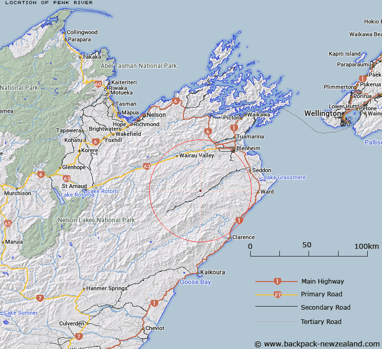
Map showing location of Penk River
LINZ description: Left bank tributary of Awatere River, rising on the northern slopes of Barometer [Trig. 2 (Geodetic Code A40X)], flowing North-eastwards then South-eastwards, and joining Awatere River 1.8km South-west of Conical Hill, [Trig. 3521 (Geodetic Code A412)]. Blocks III, IV, XI, XII, and XIII, Hodder Survey District.
Latitude: -41.81621
Longitude: 173.706195
Northing: 5370388.4
Easting: 1658653.6
Land District: Marlborough
Feat Type: Stream
Latitude: -41.81621
Longitude: 173.706195
Northing: 5370388.4
Easting: 1658653.6
Land District: Marlborough
Feat Type: Stream

Scroll down to see a more detailed road map and below that a topographical map showing the location of Penk River. The road map has been supplied by openstreetmap and the topographical map of Penk River has been supplied by Land Information New Zealand (LINZ).
Yes you can use the top static map for you school/university project or personal website with a link back. Contact me for any commercial use.
[ A ] [ B ] [ C ] [ D ] [ E ] [ F ] [ G ] [ H ] [ I ] [ J ] [ K ] [ L ] [ M ] [ N ] [ O ] [ P ] [ Q ] [ R ] [ S ] [ T ] [ U ] [ V ] [ W ] [ X ] [ Y ] [ Z ]