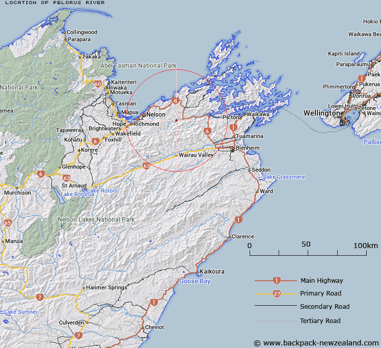
Map showing location of Pelorus River
LINZ description: A river flowing from Richmond Range approximately 1 km north of Ada Flat into Pelorus Sound / Te Hoiere at Kaikumera Bay approximately 2 km north north-east of Havelock. Feature shown on: NZMS260 O27 Edition 2 1994; Infomap 346-02 Te Wai Pounamu Edition 1 1995; NZTopo50-BR26 250058 - BQ28 638317
Latitude: -41.3115
Longitude: 173.530528
Northing: 5426526.8
Easting: 1644407.6
Land District: Marlborough
Feat Type: Stream
Latitude: -41.3115
Longitude: 173.530528
Northing: 5426526.8
Easting: 1644407.6
Land District: Marlborough
Feat Type: Stream

Scroll down to see a more detailed road map and below that a topographical map showing the location of Pelorus River. The road map has been supplied by openstreetmap and the topographical map of Pelorus River has been supplied by Land Information New Zealand (LINZ).
Yes you can use the top static map for you school/university project or personal website with a link back. Contact me for any commercial use.
[ A ] [ B ] [ C ] [ D ] [ E ] [ F ] [ G ] [ H ] [ I ] [ J ] [ K ] [ L ] [ M ] [ N ] [ O ] [ P ] [ Q ] [ R ] [ S ] [ T ] [ U ] [ V ] [ W ] [ X ] [ Y ] [ Z ]