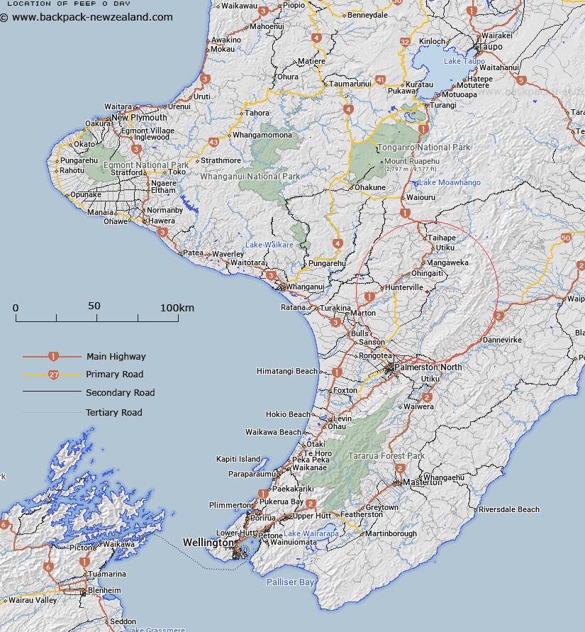
Map showing location of Peep-o-Day


LINZ description: Feature shown on: NZMS260 T22 Edition 1 1983 Reprinted 1990
Latitude: -39.956917
Longitude: 175.811917
Northing: 5573237.7
Easting: 1840192.2
Land District: Wellington
Feat Type: Locality


Scroll down to see a more detailed road map and below that a topographical map showing the location of Peep-o-Day. The road map has been supplied by openstreetmap and the topographical map of Peep-o-Day has been supplied by Land Information New Zealand (LINZ).

Yes you can use the top static map for you school/university project or personal website with a link back. Contact me for any commercial use.
Peep-o-Day Map New Zealand


New Zealand places in our database
[ A ] [ B ] [ C ] [ D ] [ E ] [ F ] [ G ] [ H ] [ I ] [ J ] [ K ] [ L ] [ M ] [ N ] [ O ] [ P ] [ Q ] [ R ] [ S ] [ T ] [ U ] [ V ] [ W ] [ X ] [ Y ] [ Z ]


Closest 20 Localitys to Peep-o-Day

Mangarimu ( 4.07km )   Apiti ( 5.54km )   Pemberton ( 6.99km )   Hinau ( 7.32km )   Pakihikura ( 8.77km )   Rangiwahia ( 9.39km )   Otamakapua ( 9.68km )   Marton Block ( 10.19km )   Waipuru ( 10.46km )   Kimbolton ( 11.56km )   Utuwai ( 12.35km )   Orangipongo ( 12.84km )   Livingstone ( 13.58km )   Umutoi ( 13.75km )   Ohingaiti ( 13.78km )   Karewarewa ( 14.07km )   Ruahine ( 14.13km )   Pouwhakaura ( 14.34km )   Mangaonoho ( 15.53km )   Rewa ( 16.04km )   Vinegar Hill ( 16.46km )   Mangaweka ( 16.6km )   Komako ( 16.77km )   Mount Richards ( 18km )   Waituna West ( 18.29km )   Kaikarangi ( 18.71km )   Kiwitea ( 18.75km )   Poukiore ( 18.92km )   Lower Kawhatau ( 19.04km )   Upper Kawhatau ( 19.6km )   Putorino ( 20.04km )   Manui ( 20.33km )   Beaconsfield ( 20.81km )   Hunterville ( 20.94km )   Makohine Valley ( 22.86km )   Silverhope ( 24.02km )   Cheltenham ( 24.41km )   Awahou North ( 24.67km )   Utiku ( 25.38km )   Tiriraukawa ( 25.5km )