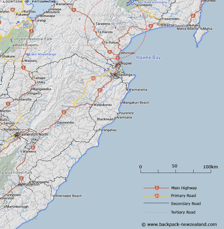
Map showing location of Patuwahine


LINZ description: Trig. B1 in Block XI on the Maungaharuru Range, 2.9km South-west of Heruotureia. Waitara Survey District.
Latitude: -39.070118
Longitude: 176.845312
Northing: 5668400
Easting: 1932695.3
Land District: Hawke's Bay
Feat Type: Trig Station


Scroll down to see a more detailed road map and below that a topographical map showing the location of Patuwahine. The road map has been supplied by openstreetmap and the topographical map of Patuwahine has been supplied by Land Information New Zealand (LINZ).

Yes you can use the top static map for you school/university project or personal website with a link back. Contact me for any commercial use.

Patuwahine Map New Zealand


New Zealand places in our database
[ A ] [ B ] [ C ] [ D ] [ E ] [ F ] [ G ] [ H ] [ I ] [ J ] [ K ] [ L ] [ M ] [ N ] [ O ] [ P ] [ Q ] [ R ] [ S ] [ T ] [ U ] [ V ] [ W ] [ X ] [ Y ] [ Z ]


Closest 20 Trig Stations to Patuwahine

Tataraakin ( 18.35km )   Pukakaramea ( 18.37km )   Pukaramea ( 18.37km )   Wakaateo ( 18.57km )   Waka Atea ( 18.57km )   Patuwahine ( 21.13km )   Parahakipaku ( 26.93km )   End ( 38.18km )   Tuwatawata ( 41.52km )   Tuawatawata ( 41.52km )   Mapouriki ( 42.1km )   Maporiki ( 42.1km )   Kaiarahi ( 49.61km )   Puketautahi ( 50.32km )   Kuripapango ( 53.76km )   Te Tahi ( 57.25km )   Kohinga ( 57.36km )   Kiorenui ( 60.62km )   Kioronui ( 60.62km )   Te Itanga Mahaki ( 63.83km )   Te Aitangaamahaki ( 63.83km )   Tawhiuau ( 68.18km )   Tawhiwhau ( 68.18km )   Tawheketewhango ( 68.89km )   Tawai-Tohunga ( 68.89km )   Tauwheketewhango ( 68.89km )   Tawake Tohunga ( 68.89km )   Whakapunake ( 71.34km )   Whakapunaki ( 71.34km )   Koherekireki ( 72.82km )   Kohirikiriki ( 72.82km )   Salisbury ( 72.87km )   Whakaumuatanetaako ( 73.21km )   Whakaumuataneteko ( 73.21km )   Ngapuketurua ( 74.11km )   Ngapukeriki ( 74.11km )   Oiraraorao ( 75.25km )   Thunderbolt ( 77.7km )   Pukaroronui ( 78.44km )   Moumoukai ( 80.25km )