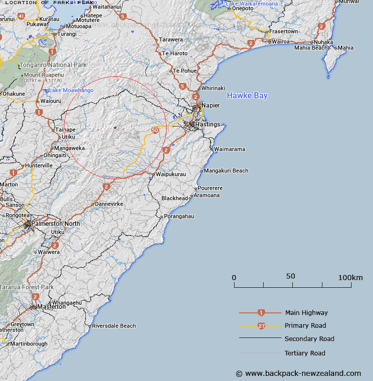
Map showing location of Parks Peak
LINZ description: Trig station Q, (Geodetic code B1WX), on peak approx 1368m, at headwaters of Jumped up and Sentry Box Streams. Wakarara Survey District.
Latitude: -39.658362
Longitude: 176.262976
Northing: 5605069.9
Easting: 1879938.1
Land District: Hawke's Bay
Feat Type: Trig Station
Latitude: -39.658362
Longitude: 176.262976
Northing: 5605069.9
Easting: 1879938.1
Land District: Hawke's Bay
Feat Type: Trig Station

Scroll down to see a more detailed road map and below that a topographical map showing the location of Parks Peak. The road map has been supplied by openstreetmap and the topographical map of Parks Peak has been supplied by Land Information New Zealand (LINZ).
Yes you can use the top static map for you school/university project or personal website with a link back. Contact me for any commercial use.
[ A ] [ B ] [ C ] [ D ] [ E ] [ F ] [ G ] [ H ] [ I ] [ J ] [ K ] [ L ] [ M ] [ N ] [ O ] [ P ] [ Q ] [ R ] [ S ] [ T ] [ U ] [ V ] [ W ] [ X ] [ Y ] [ Z ]